Earthquake 55 km S of Glacier View, Alaska
Mon, 02 Feb 2026 15:10:13 GMT
Time3 hours ago
Location
61.3080, -147.6110
Depth
5.0 KM
Event Summary
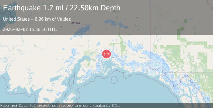
A 1.7 magnitude earthquake struck on 55 km S of Glacier View, Alaska, at Mon, 02 Feb 2026 15:10:13 GMT. Depth: 5km. Reviewed by USGS seismologists, this minor quake occurred at a magnitude type of ml.
Magnitude
1.7
ml
Source
USGS
Intensity
-
Agency Reports
1 Sources| Source | Magnitude | Depth | Time |
|---|---|---|---|
| USGSPrimary | 1.7 | 23 km | 3 hours ago |
Earthquake Details
AutomaticEvent IDusgs_ak2026chxknn
Tsunami PotentialNo
Magnitude Typeml
Nearest Places
- Lowell Glacier2.4 km
- Harvard Glacier2.9 km
- Downer Glacier3.8 km
- Dora Keen Range5.0 km
- Radcliffe Glacier5.4 km
Comments
Join the discussion about this event.
Latest Earthquakes
3.2Mag
New Guinea, Papua New Guinea
Time4 minutes ago
Depth70.57 km
SourceBMKG (Automatic)
2.3Mag
Minahassa Peninsula, Sulawesi
Time13 minutes ago
Depth50.17 km
SourceBMKG (Automatic)
1.2Mag
11 km NE of Julian, CA
Time14 minutes ago
Depth10.31 km
SourceUSGS (Automatic)
2.7Mag
MOLUCCA SEA
Time14 minutes ago
Depth28.00 km
SourceBMKG (Automatic)
2.5Mag
Java, Indonesia
Time22 minutes ago
Depth78.16 km
SourceBMKG (Automatic)
Nearby Earthquakes
1.3Mag
52 km S of Glacier View, Alaska
Time6 days ago
Depth5.00 km
SourceUSGS (Automatic)
1.6Mag
48 km S of Glacier View, Alaska
Time4 days ago
Depth20.60 km
SourceUSGS (Automatic)
1.4Mag
51 km NW of Tatitlek, Alaska
Time1 day ago
Depth14.40 km
SourceUSGS (Automatic)
1.5Mag
52 km WNW of Tatitlek, Alaska
Time1 week ago
Depth7.30 km
SourceUSGS (Automatic)
1.0Mag
61 km NE of Whittier, Alaska
Time1 week ago
Depth46.70 km
SourceUSGS (Automatic)