Earthquake Southern Alaska
Fri, 13 Feb 2026 20:42:23 GMT
Time1 week ago
Location
61.5001, -149.2476
Depth
86.2 KM
Event Summary
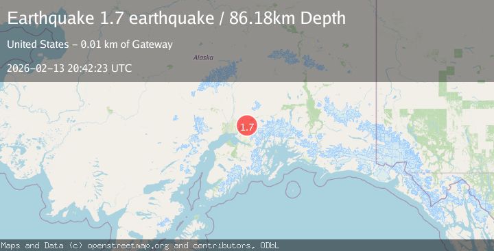
A 1.7 magnitude earthquake struck on Southern Alaska, at Fri, 13 Feb 2026 20:42:23 GMT. Depth: 86.181640625km. Reviewed by VYT seismologists, this minor quake occurred at a magnitude type of earthquake.
Magnitude
1.7
earthquake
Source
VYT
Intensity
-
Agency Reports
1 Sources| Source | Magnitude | Depth | Time |
|---|---|---|---|
| VYTPrimary | 1.7 | 86 km | 1 week ago |
Earthquake Details
AutomaticEvent IDvyt_2qdwsun56655s
Tsunami PotentialNo
Magnitude Typeearthquake
Nearest Places
- 0.8 km
- 1.0 km
- 1.2 km
- 1.6 km
- 3.8 km
Comments
Join the discussion about this event.
Latest Earthquakes
3.9Mag
off the coast of Antofagasta, Chile
Time6 minutes ago
Depth8.54 km
SourceVYT (Automatic)
5.4Mag
SOUTH OF FIJI ISLANDS
Time8 minutes ago
Depth189.20 km
SourceGFZ (Automatic)
1.8Mag
1 km SW of Pāhala, Hawaii
Time9 minutes ago
Depth30.55 km
SourceUSGS (Automatic)
1.5Mag
Southern Alaska
Time9 minutes ago
Depth0.00 km
SourceVYT (Automatic)
1.8Mag
49 km NW of Toyah, Texas
Time15 minutes ago
Depth4.22 km
SourceUSGS (Automatic)
Nearby Earthquakes
1.7Mag
1 km NE of Gateway, Alaska
Time0 months ago
Depth23.40 km
SourceUSGS (Automatic)
4.0Mag
SOUTHERN ALASKA
Time2 years ago
Depth51.00 km
SourceNEIC (Automatic)
3.0Mag
SOUTHERN ALASKA
Time7 years ago
Depth37.00 km
SourceNEIR (Automatic)
2.2Mag
Southern Alaska
Time1 week ago
Depth93.63 km
SourceVYT (Automatic)
4.4Mag
Southern Alaska
Time1 week ago
Depth41.63 km
SourceVYT (Automatic)