Earthquake near the coast of southern Peru
Sat, 14 Feb 2026 04:24:45 GMT
Time4 days ago
Location
-17.7338, -71.1747
Depth
6.3 KM
Event Summary
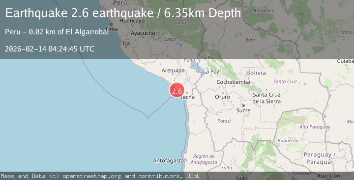
A 2.6 magnitude earthquake struck on near the coast of southern Peru, at Sat, 14 Feb 2026 04:24:45 GMT. Depth: 6.34765625km. Reviewed by VYT seismologists, this minor quake occurred at a magnitude type of earthquake.
Magnitude
2.6
earthquake
Source
VYT
Intensity
-
Agency Reports
1 Sources| Source | Magnitude | Depth | Time |
|---|---|---|---|
| VYTPrimary | 2.6 | 6 km | 4 days ago |
Earthquake Details
AutomaticEvent IDvyt_3803xepafkg4n
Tsunami PotentialNo
Magnitude Typeearthquake
Nearest Places
- Cerro Redondo2.2 km
- Pampa El Palo3.3 km
- Pampa Mesa Grande3.4 km
- Loma La Buitrera3.8 km
- Pampa Mesa Chica4.4 km
Comments
Join the discussion about this event.
Latest Earthquakes
1.0Mag
Southeastern Alaska
Time6 minutes ago
Depth0.00 km
SourceVYT (Automatic)
3.5Mag
COOK STRAIT, NEW ZEALAND
Time7 minutes ago
Depth75.30 km
SourceGNS (Automatic)
2.5Mag
Seram, Indonesia
Time9 minutes ago
Depth21.28 km
SourceBMKG
2.6Mag
West Papua Region, Indonesia
Time11 minutes ago
Depth17.35 km
SourceBMKG
5.0Mag
CENTRAL MID-ATLANTIC RIDGE
Time12 minutes ago
Depth10.00 km
SourceEMSC (Automatic)
Nearby Earthquakes
4.0Mag
NEAR COAST OF SOUTHERN PERU
Time7 years ago
Depth62.00 km
SourceNEIC (Automatic)
5.4Mag
NEAR COAST OF SOUTHERN PERU
Time19 years ago
Depth72.00 km
SourceEMSC (Automatic)
3.0Mag
NEAR COAST OF SOUTHERN PERU
Time5 years ago
Depth33.00 km
SourceGUC (Automatic)
5.6Mag
NEAR COAST OF SOUTHERN PERU
Time19 years ago
Depth30.00 km
SourceEMSC (Automatic)
3.5Mag
NEAR COAST OF SOUTHERN PERU
Time1 month ago
Depth52.00 km
SourceLIM (Automatic)