Earthquake Alaska Peninsula
Fri, 13 Feb 2026 06:04:43 GMT
Time5 days ago
Location
57.1745, -155.9395
Depth
14.0 KM
Event Summary
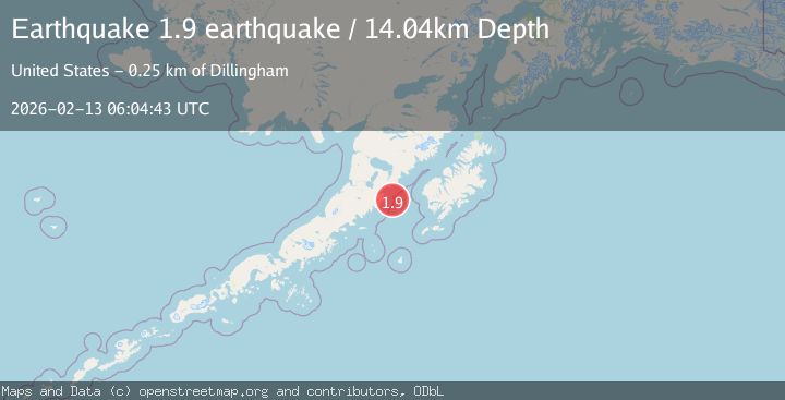
A 1.9 magnitude earthquake struck on Alaska Peninsula, at Fri, 13 Feb 2026 06:04:43 GMT. Depth: 14.0380859375km. Reviewed by VYT seismologists, this minor quake occurred at a magnitude type of earthquake.
Magnitude
1.9
earthquake
Source
VYT
Intensity
-
Agency Reports
1 Sources| Source | Magnitude | Depth | Time |
|---|---|---|---|
| VYTPrimary | 1.9 | 14 km | 5 days ago |
Earthquake Details
AutomaticEvent IDvyt_3aeq6vxytbuz6
Tsunami PotentialNo
Magnitude Typeearthquake
Nearest Places
- Kilokak Rocks20.5 km
- Cape Kilokak24.0 km
- Kilokak Creek24.8 km
- Imuya Bay25.3 km
- Cape Kayakliut26.4 km
Comments
Join the discussion about this event.
Latest Earthquakes
1.2Mag
Southern Alaska
Time3 minutes ago
Depth37.11 km
SourceVYT (Automatic)
3.0Mag
Seram, Indonesia
Time3 minutes ago
Depth12.36 km
SourceBMKG
1.1Mag
Washington
Time7 minutes ago
Depth9.64 km
SourceVYT (Automatic)
1.9Mag
32 km NW of Toyah, Texas
Time9 minutes ago
Depth4.09 km
SourceUSGS (Automatic)
1.7Mag
western Texas
Time12 minutes ago
Depth3.42 km
SourceVYT (Automatic)
Nearby Earthquakes
2.5Mag
ALASKA PENINSULA
Time1 month ago
Depth62.20 km
SourceNEIC (Automatic)
3.0Mag
ALASKA PENINSULA
Time1 year ago
Depth1.50 km
SourceNEIC (Automatic)
3.0Mag
ALASKA PENINSULA
Time2 years ago
Depth61.00 km
SourceNEIR (Automatic)
2.3Mag
85 km ESE of Ugashik, Alaska
Time1 week ago
Depth16.80 km
SourceUSGS (Automatic)
3.0Mag
ALASKA PENINSULA
Time8 years ago
Depth85.00 km
SourceNEIC (Automatic)