Earthquake Southeastern Alaska
Fri, 13 Feb 2026 06:52:33 GMT
Time5 days ago
Location
60.8834, -139.7799
Depth
0.1 KM
Event Summary
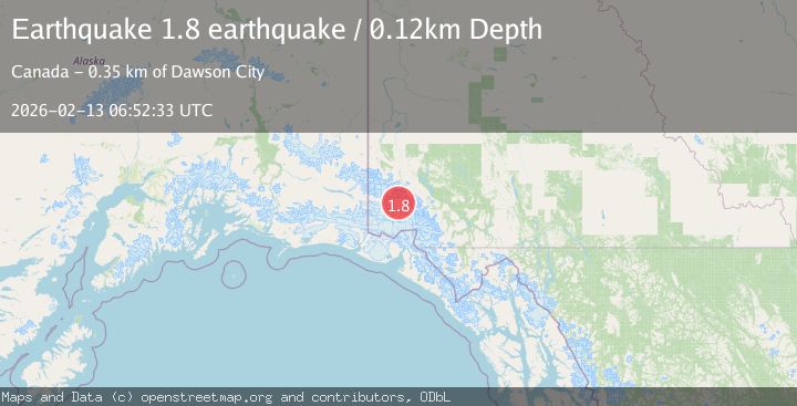
A 1.8 magnitude earthquake struck on Southeastern Alaska, at Fri, 13 Feb 2026 06:52:33 GMT. Depth: 0.1220703125km. Reviewed by VYT seismologists, this minor quake occurred at a magnitude type of earthquake.
Magnitude
1.8
earthquake
Source
VYT
Intensity
-
Agency Reports
1 Sources| Source | Magnitude | Depth | Time |
|---|---|---|---|
| VYTPrimary | 1.8 | 0 km | 5 days ago |
Earthquake Details
AutomaticEvent IDvyt_3frk8su6sw317
Tsunami PotentialNo
Magnitude Typeearthquake
Nearest Places
- Donjek Mountain4.5 km
- Mount Badham5.8 km
- Mount Walsh18.2 km
- Donjek Glacier19.8 km
- Parc national et réserve de parc national du Canada Kluane21.1 km
Comments
Join the discussion about this event.
Latest Earthquakes
2.4Mag
Finland-Russia border region
Time2 hours ago
Depth341.92 km
SourceVYT (Automatic)
0.9Mag
8 km W of Cobb, CA
Time2 hours ago
Depth1.53 km
SourceUSGS (Automatic)
1.8Mag
Central Alaska
Time2 hours ago
Depth2.08 km
SourceVYT (Automatic)
2.9Mag
WESTERN TURKEY
Time2 hours ago
Depth11.80 km
SourceKOERI (Automatic)
2.8Mag
Sulawesi, Indonesia
Time2 hours ago
Depth21.08 km
SourceBMKG
Nearby Earthquakes
2.5Mag
134 km N of Yakutat, Alaska
Time0 months ago
Depth8.60 km
SourceUSGS
2.1Mag
Southeastern Alaska
Time4 hours ago
Depth0.00 km
SourceVYT (Automatic)
3.0Mag
SOUTHERN YUKON TERRITORY, CANADA
Time7 years ago
Depth9.00 km
SourceNEIR (Automatic)
2.6Mag
SOUTHERN YUKON TERRITORY, CANADA
Time1 month ago
Depth5.00 km
SourceCN (Automatic)
4.2Mag
SOUTHERN YUKON TERRITORY, CANADA
Time1 month ago
Depth5.00 km
SourceNEIC (Automatic)