Earthquake Kepulauan Tanimbar, Indonesia
Thu, 12 Feb 2026 11:45:57 GMT
Time6 days ago
Location
-6.2630, 131.2025
Depth
134.5 KM
Event Summary
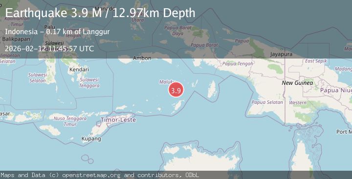
A 3.9 magnitude earthquake struck on Kepulauan Tanimbar, Indonesia, at Thu, 12 Feb 2026 11:45:57 GMT. Depth: 134.521484375km. Reviewed by VYT seismologists, this minor quake occurred at a magnitude type of earthquake.
Magnitude
3.9
earthquake
Source
VYT
Intensity
-
Agency Reports
2 Sources| Source | Magnitude | Depth | Time |
|---|---|---|---|
| VYTPrimary | 3.3 | 135 km | 6 days ago |
| BMKG | 3.9 | 13 km | 6 days ago |
Earthquake Details
AutomaticEvent IDvyt_3gxe81r8hpx6k
Tsunami PotentialNo
Magnitude Typeearthquake
Nearest Places
- Weber Basin36.8 km
- Nuhututul61.3 km
- Pulau Kalbur61.4 km
- Melwuarniweyar62.4 km
- Desa Adodo Molu62.5 km
Comments
Join the discussion about this event.
Latest Earthquakes
3.2Mag
Antofagasta, Chile
Time8 minutes ago
Depth124.27 km
SourceVYT (Automatic)
1.7Mag
Kenai Peninsula, Alaska
Time14 minutes ago
Depth28.44 km
SourceVYT (Automatic)
1.7Mag
Tarapaca, Chile
Time17 minutes ago
Depth6.47 km
SourceVYT (Automatic)
1.9Mag
Central Alaska
Time19 minutes ago
Depth81.18 km
SourceVYT (Automatic)
1.2Mag
21 km ENE of Little Lake, CA
Time20 minutes ago
Depth0.90 km
SourceUSGS (Automatic)
Nearby Earthquakes
5.2Mag
KEP. TANIMBAR REGION, INDONESIA
Time11 years ago
Depth51.00 km
SourceEMSC (Automatic)
6.7Mag
KEP. TANIMBAR REGION, INDONESIA
Time7 months ago
Depth65.90 km
SourceEMSC (Automatic)
5.4Mag
KEP. TANIMBAR REGION, INDONESIA
Time10 years ago
Depth75.00 km
SourceEMSC (Automatic)
3.9Mag
KEP. TANIMBAR REGION, INDONESIA
Time1 month ago
Depth76.00 km
SourceBMKG (Automatic)
3.5Mag
KEP. TANIMBAR REGION, INDONESIA
Time2 weeks ago
Depth14.00 km
SourceBMKG (Automatic)