Earthquake 27 km W of Salamatof, Alaska
Fri, 06 Feb 2026 00:16:47 GMT
Time1 hour ago
Location
60.6060, -151.8280
Depth
81.3 KM
Event Summary
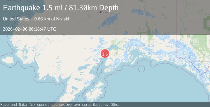
A 1.5 magnitude earthquake struck on 27 km W of Salamatof, Alaska, at Fri, 06 Feb 2026 00:16:47 GMT. Depth: 81.3km. Reviewed by USGS seismologists, this minor quake occurred at a magnitude type of ml.
Magnitude
1.5
ml
Source
USGS
Intensity
-
Agency Reports
1 Sources| Source | Magnitude | Depth | Time |
|---|---|---|---|
| USGSPrimary | 1.5 | 81 km | 1 hour ago |
Earthquake Details
ConfirmedEvent IDusgs_ak2026cocsdo
Tsunami PotentialNo
Magnitude Typeml
Nearest Places
- Kustatan River10.8 km
- Redoubt Bay11.2 km
- Northwest Point11.5 km
- Kustatan12.9 km
- Big River13.1 km
Comments
Join the discussion about this event.
Latest Earthquakes
2.0Mag
15 km WNW of Progreso, B.C., MX
Time11 minutes ago
Depth7.53 km
SourceUSGS (Automatic)
3.7Mag
CENTRAL MEDITERRANEAN SEA
Time14 minutes ago
Depth26.80 km
SourceNOA (Automatic)
1.9Mag
STRAIT OF GIBRALTAR
Time27 minutes ago
Depth10.00 km
SourceIGN (Automatic)
1.5Mag
NEAR THE COAST OF WESTERN TURKEY
Time29 minutes ago
Depth16.90 km
SourceAFAD (Automatic)
4.0Mag
OFF COAST OF OAXACA, MEXICO
Time29 minutes ago
Depth18.00 km
SourceUNM (Automatic)
Nearby Earthquakes
2.4Mag
13 km W of Kenai, Alaska
Time1 day ago
Depth69.00 km
SourceUSGS (Automatic)
2.1Mag
25 km WNW of Nikiski, Alaska
Time1 week ago
Depth83.70 km
SourceUSGS (Automatic)
1.9Mag
Southern Alaska
Time2 weeks ago
Depth82.60 km
SourceUSGS (Automatic)
2.8Mag
24 km NW of Nikiski, Alaska
Time2 weeks ago
Depth80.10 km
SourceUSGS (Automatic)
1.2Mag
20 km W of Clam Gulch, Alaska
Time2 weeks ago
Depth61.80 km
SourceUSGS (Automatic)