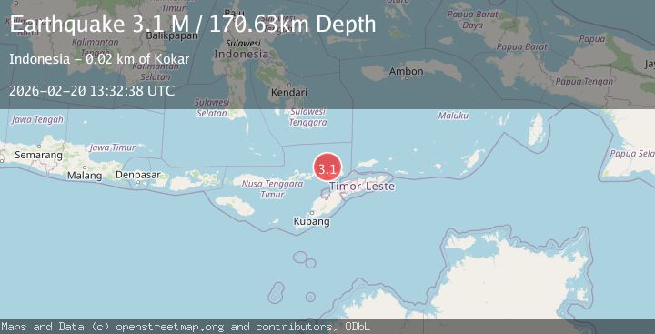
Earthquake Banda Sea
Fri, 20 Feb 2026 13:32:30 GMT
Time1 hour ago
Location
-7.6312, 124.3304
Depth
237.5 KM
Event Summary
A 3.7 magnitude earthquake struck on Banda Sea, at Fri, 20 Feb 2026 13:32:30 GMT. Depth: 237.548828125km. Reviewed by VYT seismologists, this minor quake occurred at a magnitude type of earthquake.
Magnitude
3.7
earthquake
Source
VYT
Intensity
-
Agency Reports
1 Sources| Source | Magnitude | Depth | Time |
|---|---|---|---|
| VYTPrimary | 3.7 | 238 km | 1 hour ago |
Earthquake Details
AutomaticEvent IDvyt_3rusyzn900dm2
Tsunami PotentialNo
Magnitude Typeearthquake
Nearest Places
- Tanjung Artwoli57.9 km
- Maul Betung58.2 km
- Teluk Banmul58.3 km
- Tanjung Tilewewutung58.9 km
- Batuputih58.9 km
Comments
Join the discussion about this event.
Latest Earthquakes
0.7Mag
Washington
Time1 hour ago
Depth3.42 km
SourceVYT (Automatic)
2.7Mag
Western Australia
Time1 hour ago
Depth485.47 km
SourceVYT (Automatic)
3.8Mag
Sumba region, Indonesia
Time1 hour ago
Depth127.93 km
SourceVYT (Automatic)
2.7Mag
Minahasa, Sulawesi, Indonesia
Time1 hour ago
Depth201.29 km
SourceVYT (Automatic)
4.2Mag
Talaud Islands, Indonesia
Time1 hour ago
Depth750.00 km
SourceBMKG
Nearby Earthquakes
3.0Mag
BANDA SEA
Time10 months ago
Depth183.00 km
SourceBMKG (Automatic)
3.0Mag
BANDA SEA
Time2 years ago
Depth334.00 km
SourceBMKG (Automatic)
3.0Mag
BANDA SEA
Time3 years ago
Depth230.00 km
SourceDJA (Automatic)
4.1Mag
Banda Sea
Time2 weeks ago
Depth272.05 km
SourceBMKG (Automatic)
4.0Mag
BANDA SEA
Time4 years ago
Depth302.00 km
SourceDJA (Automatic)