Earthquake Southern Alaska
Wed, 18 Feb 2026 06:33:59 GMT
Time1 hour ago
Location
60.4252, -144.1674
Depth
0.0 KM
Event Summary
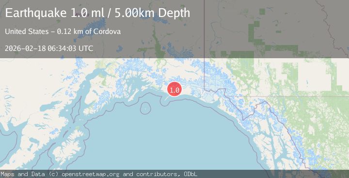
A 1.7 magnitude earthquake struck on Southern Alaska, at Wed, 18 Feb 2026 06:33:59 GMT. Depth: 0km. Reviewed by VYT seismologists, this minor quake occurred at a magnitude type of earthquake.
Magnitude
1.7
earthquake
Source
VYT
Intensity
-
Agency Reports
2 Sources| Source | Magnitude | Depth | Time |
|---|---|---|---|
| VYTPrimary | 1.7 | 0 km | 1 hour ago |
| USGS | 1.0 | 5 km | 1 hour ago |
Earthquake Details
AutomaticEvent IDvyt_3sb2ygosa3h50
Tsunami PotentialNo
Magnitude Typeearthquake
Nearest Places
- Charlotte Ridge1.1 km
- Lake Charlotte1.2 km
- Kushtaka Mountain1.7 km
- Carbon Ridge2.4 km
- Penn Creek2.8 km
Comments
Join the discussion about this event.
Latest Earthquakes
1.0Mag
8 km NW of The Geysers, CA
Time1 hour ago
Depth1.53 km
SourceUSGS (Automatic)
2.5Mag
Java, Indonesia
Time1 hour ago
Depth76.65 km
SourceBMKG
1.7Mag
Central Alaska
Time1 hour ago
Depth0.00 km
SourceVYT (Automatic)
3.1Mag
south of Alaska
Time1 hour ago
Depth10.00 km
SourceVYT (Automatic)
2.0Mag
Finland-Russia border region
Time1 hour ago
Depth256.59 km
SourceVYT (Automatic)
Nearby Earthquakes
2.7Mag
112 km E of Cordova, Alaska
Time3 weeks ago
Depth13.00 km
SourceUSGS (Automatic)
5.3Mag
SOUTHERN ALASKA
Time17 years ago
Depth10.00 km
SourceEMSC (Automatic)
2.8Mag
47 km E of Cordova, Alaska
Time3 weeks ago
Depth16.90 km
SourceUSGS (Automatic)
3.0Mag
SOUTHERN ALASKA
Time2 months ago
Depth10.00 km
SourceNEIC (Automatic)
1.1Mag
86 km SSW of McCarthy, Alaska
Time3 weeks ago
Depth5.00 km
SourceUSGS (Automatic)