Earthquake Southern Alaska
Tue, 17 Feb 2026 23:08:03 GMT
Time13 hours ago
Location
61.4968, -146.5677
Depth
20.8 KM
Event Summary
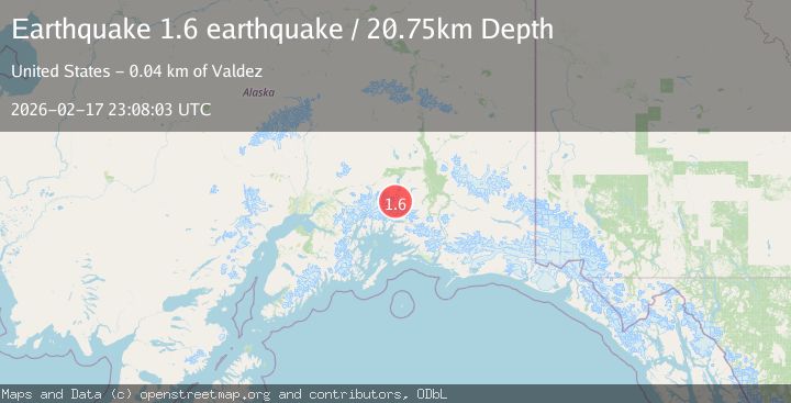
A 1.6 magnitude earthquake struck on Southern Alaska, at Tue, 17 Feb 2026 23:08:03 GMT. Depth: 20.751953125km. Reviewed by VYT seismologists, this minor quake occurred at a magnitude type of earthquake.
Magnitude
1.6
earthquake
Source
VYT
Intensity
-
Agency Reports
1 Sources| Source | Magnitude | Depth | Time |
|---|---|---|---|
| VYTPrimary | 1.6 | 21 km | 13 hours ago |
Earthquake Details
AutomaticEvent IDvyt_3smdx5ciqh76m
Tsunami PotentialNo
Magnitude Typeearthquake
Nearest Places
- Tazlina Glacier2.6 km
- Brontosaurus Mountain6.0 km
- Iceberg Lake12.0 km
- Audubon Mountain12.4 km
- Mount Cashman15.6 km
Comments
Join the discussion about this event.
Latest Earthquakes
0.7Mag
6 km WNW of Cobb, CA
Time10 hours ago
Depth-0.59 km
SourceUSGS (Automatic)
1.0Mag
Southern Alaska
Time10 hours ago
Depth0.12 km
SourceVYT (Automatic)
2.1Mag
Sumbawa Region, Indonesia
Time10 hours ago
Depth21.86 km
SourceBMKG
4.0Mag
northwest of Australia
Time10 hours ago
Depth91.80 km
SourceVYT (Automatic)
1.8Mag
Tarapaca, Chile
Time10 hours ago
Depth16.60 km
SourceVYT (Automatic)
Nearby Earthquakes
2.0Mag
44 km NNW of Valdez, Alaska
Time2 weeks ago
Depth23.60 km
SourceUSGS (Automatic)
3.0Mag
SOUTHERN ALASKA
Time2 years ago
Depth32.00 km
SourceNEIC (Automatic)
3.0Mag
SOUTHERN ALASKA
Time8 months ago
Depth34.50 km
SourceNEIC (Automatic)
2.9Mag
SOUTHERN ALASKA
Time2 weeks ago
Depth21.80 km
SourceAK (Automatic)
1.9Mag
37 km NNW of Valdez, Alaska
Time3 weeks ago
Depth36.10 km
SourceUSGS (Automatic)