Earthquake Southern Alaska
Sat, 14 Feb 2026 18:34:49 GMT
Time3 days ago
Location
61.2858, -152.2266
Depth
11.5 KM
Event Summary
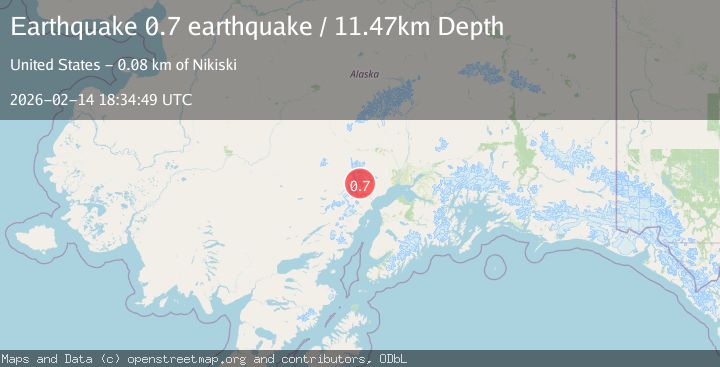
A 0.7 magnitude earthquake struck on Southern Alaska, at Sat, 14 Feb 2026 18:34:49 GMT. Depth: 11.474609375km. Reviewed by VYT seismologists, this minor quake occurred at a magnitude type of earthquake.
Magnitude
0.7
earthquake
Source
VYT
Intensity
-
Agency Reports
1 Sources| Source | Magnitude | Depth | Time |
|---|---|---|---|
| VYTPrimary | 0.7 | 11 km | 3 days ago |
Earthquake Details
AutomaticEvent IDvyt_ft7jp1ecsdf3
Tsunami PotentialNo
Magnitude Typeearthquake
Nearest Places
- Crater Peak1.9 km
- Mount Spurr2.0 km
- The Rowel3.5 km
- Spurr Ice Plateau3.8 km
- Crater Glacier4.5 km
Comments
Join the discussion about this event.
Latest Earthquakes
2.0Mag
Tarapaca, Chile
Time21 hours ago
Depth18.19 km
SourceVYT (Automatic)
1.5Mag
8 km NNE of Pyote, Texas
Time21 hours ago
Depth0.00 km
SourceUSGS (Automatic)
1.8Mag
western Texas
Time21 hours ago
Depth0.12 km
SourceVYT (Automatic)
1.4Mag
8 km N of Healdsburg, CA
Time21 hours ago
Depth4.17 km
SourceUSGS (Automatic)
2.3Mag
Southeastern Alaska
Time21 hours ago
Depth16.24 km
SourceVYT (Automatic)
Nearby Earthquakes
3.1Mag
SOUTHERN ALASKA
Time3 weeks ago
Depth5.00 km
SourceAK (Automatic)
0.5Mag
Southern Alaska
Time5 days ago
Depth1.95 km
SourceVYT (Automatic)
1.1Mag
Southern Alaska
Time3 days ago
Depth0.00 km
SourceVYT (Automatic)
0.8Mag
Southern Alaska
Time3 days ago
Depth4.27 km
SourceVYT (Automatic)
2.5Mag
Southern Alaska
Time1 week ago
Depth0.00 km
SourceVYT (Automatic)