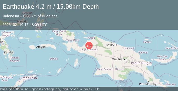
Earthquake Papua, Indonesia
Thu, 19 Feb 2026 17:48:09 GMT
Time1 hour ago
Location
-3.1015, 136.6478
Depth
0.0 KM
Event Summary
A 3.7 magnitude earthquake struck on Papua, Indonesia, at Thu, 19 Feb 2026 17:48:09 GMT. Depth: 0km. Reviewed by VYT seismologists, this minor quake occurred at a magnitude type of earthquake.
Magnitude
3.7
earthquake
Source
VYT
Intensity
-
Agency Reports
1 Sources| Source | Magnitude | Depth | Time |
|---|---|---|---|
| VYTPrimary | 3.7 | 0 km | 1 hour ago |
Earthquake Details
AutomaticEvent IDvyt_hy4tpixgajbw
Tsunami PotentialNo
Magnitude Typeearthquake
Nearest Places
- Kampung Malewoya3.1 km
- Kampung Tunggamba6.3 km
- Kampung Ebawaida7.1 km
- Kampung Bigasiga11.4 km
- Kampung Dapiaga11.7 km
Comments
Join the discussion about this event.
Latest Earthquakes
2.2Mag
Central California
Time1 hour ago
Depth18.07 km
SourceVYT (Automatic)
2.8Mag
Antofagasta, Chile
Time1 hour ago
Depth0.00 km
SourceVYT (Automatic)
3.5Mag
MOLUCCA SEA
Time1 hour ago
Depth184.00 km
SourceBMKG (Automatic)
4.2Mag
North of Halmahera, Indonesia
Time1 hour ago
Depth129.04 km
SourceBMKG
3.7Mag
north of Halmahera, Indonesia
Time1 hour ago
Depth10.00 km
SourceVYT (Automatic)
Nearby Earthquakes
3.5Mag
West Papua, Indonesia
Time2 weeks ago
Depth10.00 km
SourceBMKG (Automatic)
2.8Mag
PAPUA, INDONESIA
Time1 month ago
Depth10.00 km
SourceBMKG (Automatic)
5.0Mag
NEAR N COAST OF PAPUA, INDONESIA
Time2 years ago
Depth51.00 km
SourceEMSC (Automatic)
3.0Mag
PAPUA, INDONESIA
Time2 months ago
Depth16.00 km
SourceBMKG (Automatic)
5.1Mag
NEAR N COAST OF PAPUA, INDONESIA
Time17 years ago
Depth40.00 km
SourceEMSC (Automatic)