Earthquake northern Alaska
Mon, 23 Feb 2026 15:35:18 GMT
Time1 hour ago
Location
66.5232, -147.6905
Depth
104.2 KM
Event Summary
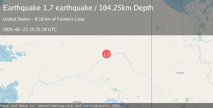
A 1.7 magnitude earthquake struck on northern Alaska, at Mon, 23 Feb 2026 15:35:18 GMT. Depth: 104.248046875km. Reviewed by VYT seismologists, this minor quake occurred at a magnitude type of earthquake.
Magnitude
1.7
earthquake
Source
VYT
Intensity
-
Agency Reports
1 Sources| Source | Magnitude | Depth | Time |
|---|---|---|---|
| VYTPrimary | 1.7 | 104 km | 1 hour ago |
Earthquake Details
AutomaticEvent IDvyt_lk0s8gpynskv
Tsunami PotentialNo
Magnitude Typeearthquake
Nearest Places
- 2.0 km
- 3.3 km
- 5.0 km
- 9.2 km
- 12.2 km
Comments
Join the discussion about this event.
Latest Earthquakes
1.7Mag
20 km SE of Pāhala, Hawaii
Time1 hour ago
Depth34.33 km
SourceUSGS (Automatic)
2.5Mag
Timor Region
Time1 hour ago
Depth18.33 km
SourceBMKG
2.9Mag
South of Java, Indonesia
Time1 hour ago
Depth10.78 km
SourceBMKG
2.3Mag
Fox Islands, Aleutian Islands, Alaska
Time1 hour ago
Depth0.00 km
SourceVYT (Automatic)
3.0Mag
Fox Islands, Aleutian Islands, Alaska
Time1 hour ago
Depth0.00 km
SourceVYT (Automatic)
Nearby Earthquakes
3.0Mag
NORTHERN ALASKA
Time4 years ago
Depth12.00 km
SourceNEIC (Automatic)
3.0Mag
NORTHERN ALASKA
Time1 year ago
Depth9.30 km
SourceNEIC (Automatic)
2.0Mag
39 km SW of Venetie, Alaska
Time2 weeks ago
Depth0.70 km
SourceUSGS (Automatic)
3.0Mag
NORTHERN ALASKA
Time8 years ago
Depth16.00 km
SourceNEIR (Automatic)
1.9Mag
46 km NE of Livengood, Alaska
Time2 weeks ago
Depth7.60 km
SourceUSGS (Automatic)