Earthquake 20 km SE of Pāhala, Hawaii
Mon, 23 Feb 2026 15:38:35 GMT
Time1 hour ago
Location
19.0505, -155.3610
Depth
34.3 KM
Event Summary
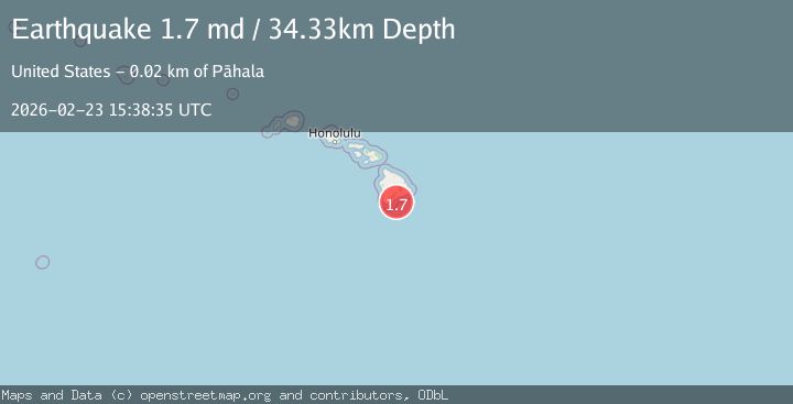
A 1.7 magnitude earthquake struck on 20 km SE of Pāhala, Hawaii, at Mon, 23 Feb 2026 15:38:35 GMT. Depth: 34.3300018310547km. Reviewed by USGS seismologists, this minor quake occurred at a magnitude type of md.
Magnitude
1.7
md
Source
USGS
Intensity
-
Agency Reports
1 Sources| Source | Magnitude | Depth | Time |
|---|---|---|---|
| USGSPrimary | 1.7 | 34 km | 1 hour ago |
Earthquake Details
AutomaticEvent IDusgs_hv74906676
Tsunami PotentialNo
Magnitude Typemd
Nearest Places
- 12.3 km
- 13.2 km
- 14.4 km
- 14.5 km
- 14.7 km
Comments
Join the discussion about this event.
Latest Earthquakes
2.5Mag
Timor Region
Time1 hour ago
Depth18.33 km
SourceBMKG
1.7Mag
northern Alaska
Time1 hour ago
Depth104.25 km
SourceVYT (Automatic)
2.9Mag
South of Java, Indonesia
Time1 hour ago
Depth10.78 km
SourceBMKG
2.3Mag
Fox Islands, Aleutian Islands, Alaska
Time1 hour ago
Depth0.00 km
SourceVYT (Automatic)
3.0Mag
Fox Islands, Aleutian Islands, Alaska
Time1 hour ago
Depth0.00 km
SourceVYT (Automatic)
Nearby Earthquakes
2.4Mag
ISLAND OF HAWAII, HAWAII
Time1 week ago
Depth33.40 km
SourceHV (Automatic)
1.9Mag
21 km SE of Pāhala, Hawaii
Time1 day ago
Depth31.23 km
SourceUSGS (Automatic)
1.9Mag
21 km SE of Pāhala, Hawaii
Time1 day ago
Depth32.24 km
SourceUSGS (Automatic)
1.8Mag
21 km SE of Pāhala, Hawaii
Time2 weeks ago
Depth40.82 km
SourceUSGS (Automatic)
1.7Mag
21 km SE of Pāhala, Hawaii
Time1 day ago
Depth34.21 km
SourceUSGS (Automatic)