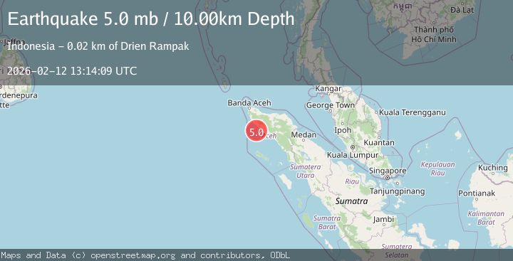
Earthquake northern Sumatra, Indonesia
Thu, 12 Feb 2026 13:14:14 GMT
Time6 days ago
Location
4.1741, 95.6246
Depth
29.9 KM
Event Summary
A 5.0 magnitude earthquake struck on northern Sumatra, Indonesia, at Thu, 12 Feb 2026 13:14:14 GMT. Depth: 29.9072265625km. Reviewed by VYT seismologists, this moderate quake occurred at a magnitude type of earthquake.
Magnitude
5.0
earthquake
Source
VYT
Intensity
-
Agency Reports
4 Sources| Source | Magnitude | Depth | Time |
|---|---|---|---|
| VYTPrimary | 5.0 | 30 km | 6 days ago |
| BMKG | 4.8 | 11 km | 6 days ago |
| EMSC | 5.0 | 53 km | 6 days ago |
| GSRAS | 5.0 | 10 km | 6 days ago |
Earthquake Details
AutomaticEvent IDvyt_o2mm999xuj0k
Tsunami PotentialNo
Magnitude Typeearthquake
Nearest Places
- Krueng Bakong35.3 km
- Kuala Bakong35.3 km
- Krueng Teunom35.6 km
- Suak Uleue35.7 km
- Cot Trap35.7 km
Comments
Join the discussion about this event.
Latest Earthquakes
1.3Mag
Southeastern Alaska
Time4 minutes ago
Depth1.71 km
SourceVYT (Automatic)
2.9Mag
Central Alaska
Time9 minutes ago
Depth0.00 km
SourceVYT (Automatic)
1.9Mag
Kenai Peninsula, Alaska
Time11 minutes ago
Depth67.87 km
SourceVYT (Automatic)
1.2Mag
Southeastern Alaska
Time15 minutes ago
Depth35.28 km
SourceVYT (Automatic)
3.3Mag
off the coast of Libertador O'Higgins, Chile
Time19 minutes ago
Depth10.00 km
SourceVYT (Automatic)
Nearby Earthquakes
3.0Mag
NORTHERN SUMATRA, INDONESIA
Time0 months ago
Depth37.00 km
SourceBMKG (Automatic)
5.4Mag
NORTHERN SUMATRA, INDONESIA
Time20 years ago
Depth30.00 km
SourceEMSC (Automatic)
5.0Mag
NORTHERN SUMATRA, INDONESIA
Time11 years ago
Depth15.00 km
SourceEMSC (Automatic)
5.1Mag
NORTHERN SUMATRA, INDONESIA
Time3 years ago
Depth80.00 km
SourceEMSC (Automatic)
3.0Mag
NORTHERN SUMATRA, INDONESIA
Time2 years ago
Depth40.00 km
SourceBMKG (Automatic)