Earthquake Timor region, Indonesia
Sun, 22 Feb 2026 15:13:16 GMT
Time1 hour ago
Location
-8.7661, 124.3176
Depth
107.5 KM
Event Summary
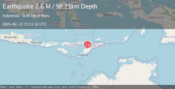
A 3.1 magnitude earthquake struck on Timor region, Indonesia, at Sun, 22 Feb 2026 15:13:16 GMT. Depth: 107.5439453125km. Reviewed by VYT seismologists, this minor quake occurred at a magnitude type of earthquake.
Magnitude
3.1
earthquake
Source
VYT
Intensity
-
Agency Reports
2 Sources| Source | Magnitude | Depth | Time |
|---|---|---|---|
| VYTPrimary | 3.1 | 108 km | 1 hour ago |
| BMKG | 2.6 | 90 km | 1 hour ago |
Earthquake Details
AutomaticEvent IDvyt_trtcyuovj2v1
Tsunami PotentialNo
Magnitude Typeearthquake
Nearest Places
- 31.0 km
- 31.1 km
- 31.6 km
- 31.6 km
- 31.7 km
Comments
Join the discussion about this event.
Latest Earthquakes
5.3Mag
southern Sumatra, Indonesia
Time54 minutes ago
Depth35.28 km
SourceVYT (Automatic)
1.4Mag
Washington
Time59 minutes ago
Depth0.00 km
SourceVYT (Automatic)
2.8Mag
Minahassa Peninsula, Sulawesi
Time1 hour ago
Depth132.85 km
SourceBMKG
3.1Mag
Celebes Sea
Time1 hour ago
Depth148.80 km
SourceVYT (Automatic)
3.1Mag
OFF E. COAST OF N. ISLAND, N.Z.
Time1 hour ago
Depth23.80 km
SourceGNS (Automatic)
Nearby Earthquakes
3.0Mag
KEPULAUAN ALOR, INDONESIA
Time5 years ago
Depth69.00 km
SourceDJA (Automatic)
5.2Mag
KEPULAUAN ALOR, INDONESIA
Time21 years ago
Depth33.00 km
SourceOBN (Automatic)
2.7Mag
Timor Region
Time1 week ago
Depth95.97 km
SourceBMKG (Automatic)
2.5Mag
KEPULAUAN ALOR, INDONESIA
Time1 month ago
Depth44.00 km
SourceBMKG (Automatic)
2.8Mag
KEPULAUAN ALOR, INDONESIA
Time1 month ago
Depth89.00 km
SourceBMKG (Automatic)