Earthquake Timor Region
Mon, 09 Feb 2026 17:26:24 GMT
Time1 hour ago
Location
-8.7343, 124.2973
Depth
86.1 KM
Event Summary
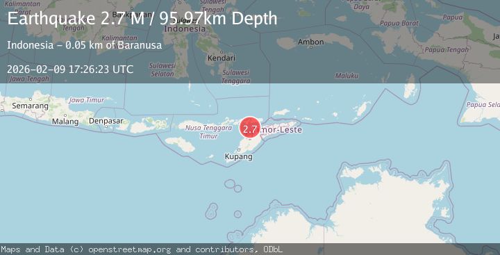
A 2.5 magnitude earthquake struck on Timor Region, at Mon, 09 Feb 2026 17:26:24 GMT. Depth: 86.100632km. Reviewed by BMKG seismologists, this minor quake occurred at a magnitude type of M.
Magnitude
2.5
M
Source
BMKG
Intensity
-
Agency Reports
1 Sources| Source | Magnitude | Depth | Time |
|---|---|---|---|
| BMKGPrimary | 2.5 | 86 km | 1 hour ago |
Earthquake Details
AutomaticEvent IDbmg2026cupd
Tsunami PotentialNo
Magnitude TypeM
Nearest Places
- Tanjung Parilal27.3 km
- Tanjung Keltetek27.3 km
- Tanjung Bataamin27.8 km
- Tanjung Lahaja27.8 km
- Tanjung Boatiming27.8 km
Comments
Join the discussion about this event.
Latest Earthquakes
3.0Mag
COOK STRAIT, NEW ZEALAND
Time1 hour ago
Depth38.30 km
SourceGNS (Automatic)
1.2Mag
20 km NNW of Amboy, Washington
Time1 hour ago
Depth12.18 km
SourceUSGS
3.1Mag
VIRGIN ISLANDS REGION
Time1 hour ago
Depth9.90 km
SourcePR (Automatic)
3.1Mag
Southern Molucca Sea
Time1 hour ago
Depth13.52 km
SourceBMKG (Automatic)
3.0Mag
SAN JUAN, ARGENTINA
Time1 hour ago
Depth97.00 km
SourceNSNA (Automatic)
Nearby Earthquakes
2.4Mag
Timor Region
Time1 week ago
Depth78.46 km
SourceBMKG (Automatic)
2.1Mag
Timor Region
Time3 days ago
Depth94.29 km
SourceBMKG (Automatic)
2.3Mag
Timor Region
Time1 week ago
Depth59.59 km
SourceBMKG (Automatic)
2.5Mag
Timor Region
Time1 week ago
Depth99.66 km
SourceBMKG (Automatic)
2.4Mag
Timor Region
Time1 week ago
Depth56.30 km
SourceBMKG (Automatic)