Earthquake eastern New Guinea region, Papua New Guinea
Thu, 12 Feb 2026 11:07:59 GMT
Time1 week ago
Location
-8.4955, 146.0429
Depth
365.4 KM
Event Summary
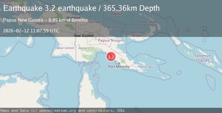
A 3.2 magnitude earthquake struck on eastern New Guinea region, Papua New Guinea, at Thu, 12 Feb 2026 11:07:59 GMT. Depth: 365.3564453125km. Reviewed by VYT seismologists, this minor quake occurred at a magnitude type of earthquake.
Magnitude
3.2
earthquake
Source
VYT
Intensity
-
Agency Reports
1 Sources| Source | Magnitude | Depth | Time |
|---|---|---|---|
| VYTPrimary | 3.2 | 365 km | 1 week ago |
Earthquake Details
AutomaticEvent IDvyt_y4q55edml1kh
Tsunami PotentialNo
Magnitude Typeearthquake
Comments
Join the discussion about this event.
Latest Earthquakes
1.8Mag
8 km SSW of Dayton, Nevada
Time3 minutes ago
Depth2.65 km
SourceUSGS (Automatic)
1.4Mag
6 km SSW of Idyllwild, CA
Time8 minutes ago
Depth15.02 km
SourceUSGS (Automatic)
2.4Mag
western Texas
Time9 minutes ago
Depth6.10 km
SourceVYT (Automatic)
2.8Mag
Southern Alaska
Time12 minutes ago
Depth14.04 km
SourceVYT (Automatic)
2.4Mag
Southern Alaska
Time14 minutes ago
Depth139.28 km
SourceVYT (Automatic)
Nearby Earthquakes
5.4Mag
EASTERN NEW GUINEA REG., P.N.G.
Time13 years ago
Depth60.00 km
SourceEMSC (Automatic)
5.2Mag
EASTERN NEW GUINEA REG., P.N.G.
Time9 years ago
Depth30.00 km
SourceEMSC (Automatic)
5.6Mag
EASTERN NEW GUINEA REG., P.N.G.
Time11 years ago
Depth10.00 km
SourceEMSC (Automatic)
5.3Mag
EASTERN NEW GUINEA REG., P.N.G.
Time18 years ago
Depth10.00 km
SourceEMSC (Automatic)
7.1Mag
EASTERN NEW GUINEA REG., P.N.G.
Time14 years ago
Depth125.00 km
SourceEMSC (Automatic)