Earthquake New Guinea, Papua New Guinea
Sat, 03 Jan 2026 01:26:43 GMT
Time1 hour ago
Location
-6.4631, 143.6889
Depth
86.3 KM
Event Summary
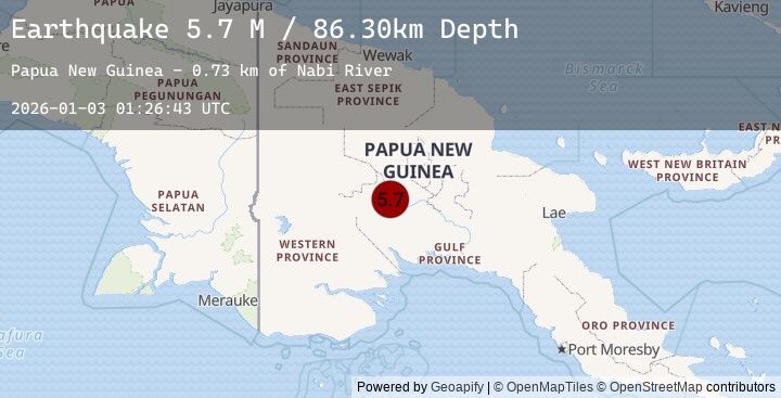
A 5.7 magnitude earthquake struck on New Guinea, Papua New Guinea, at Sat, 03 Jan 2026 01:26:43 GMT. Depth: 86.2995km. Reviewed by BMKG seismologists, this moderate quake occurred at a magnitude type of M.
Magnitude
5.7
M
Source
BMKG
Intensity
-
Agency Reports
1 Sources| Source | Magnitude | Depth | Time |
|---|---|---|---|
| BMKGPrimary | 5.7 | 86 km | 1 hour ago |
Earthquake Details
AutomaticEvent IDbmg2026adtw
Tsunami PotentialNo
Magnitude TypeM
Nearest Places
- Nabi River0.7 km
- Obuka3.1 km
- Iagita Range4.2 km
- Masina Range4.3 km
- Wandiri4.5 km
Comments
Join the discussion about this event.
Latest Earthquakes
2.8Mag
Flores Region, Indonesia
Time2 hours ago
Depth12.83 km
SourceBMKG (Automatic)
2.3Mag
102 km SSE of Ugashik, Alaska
Time2 hours ago
Depth88.00 km
SourceUSGS (Automatic)
2.1Mag
Bali Region, Indonesia
Time2 hours ago
Depth11.58 km
SourceBMKG (Automatic)
1.6Mag
54 km W of Nanwalek, Alaska
Time2 hours ago
Depth67.60 km
SourceUSGS (Automatic)
3.9Mag
Southwest of Sumatra, Indonesia
Time2 hours ago
Depth24.96 km
SourceBMKG (Automatic)
Nearby Earthquakes
No significant earthquakes nearby recently.