Earthquake 102 km SSE of Ugashik, Alaska
Sat, 03 Jan 2026 01:14:19 GMT
Time2 hours ago
Location
56.6640, -156.7600
Depth
88.0 KM
Event Summary
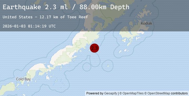
A 2.3 magnitude earthquake struck on 102 km SSE of Ugashik, Alaska, at Sat, 03 Jan 2026 01:14:19 GMT. Depth: 88km. Reviewed by USGS seismologists, this minor quake occurred at a magnitude type of ml.
Magnitude
2.3
ml
Source
USGS
Intensity
-
Agency Reports
1 Sources| Source | Magnitude | Depth | Time |
|---|---|---|---|
| USGSPrimary | 2.3 | 88 km | 2 hours ago |
Earthquake Details
AutomaticEvent IDusgs_ak2026adtyep
Tsunami PotentialNo
Magnitude Typeml
Nearest Places
- Toee Reef12.2 km
- Ugaiushak Island15.5 km
- Radial Island16.8 km
- Hydra Island17.9 km
- Foggy Cape19.2 km
Comments
Join the discussion about this event.
Latest Earthquakes
2.1Mag
Bali Region, Indonesia
Time2 hours ago
Depth11.58 km
SourceBMKG (Automatic)
1.6Mag
54 km W of Nanwalek, Alaska
Time2 hours ago
Depth67.60 km
SourceUSGS (Automatic)
3.9Mag
Southwest of Sumatra, Indonesia
Time2 hours ago
Depth24.96 km
SourceBMKG (Automatic)
4.1Mag
GUERRERO, MEXICO
Time2 hours ago
Depth5.80 km
SourceUNM (Automatic)
1.6Mag
WESTERN TURKEY
Time2 hours ago
Depth12.00 km
SourceEMSC (Automatic)