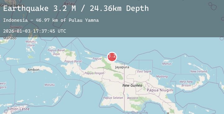
Earthquake Near North Coast of West Papua
Sat, 03 Jan 2026 17:37:43 GMT
Time5 days ago
Location
-1.6133, 139.1226
Depth
17.3 KM
Event Summary
A 3.1 magnitude earthquake struck on Near North Coast of West Papua, at Sat, 03 Jan 2026 17:37:43 GMT. Depth: 17.30304km. Reviewed by BMKG seismologists, this minor quake occurred at a magnitude type of M.
Magnitude
3.1
M
Source
BMKG
Intensity
-
Agency Reports
1 Sources| Source | Magnitude | Depth | Time |
|---|---|---|---|
| BMKGPrimary | 3.1 | 17 km | 5 days ago |
Earthquake Details
AutomaticEvent IDbmg2026aezx
Tsunami PotentialNo
Magnitude TypeM
Nearest Places
- Kampung Armo36.8 km
- Pulau Armo37.2 km
- Wakde37.5 km
- Pulau Insumoar38.0 km
- Pulau-pulau Wakde38.6 km
Comments
Join the discussion about this event.
Latest Earthquakes
2.4Mag
41 km WSW of Karluk, Alaska
Time5 days ago
Depth74.90 km
SourceUSGS (Automatic)
-0.1Mag
10 km SE of Winchester, CA
Time5 days ago
Depth13.00 km
SourceUSGS (Automatic)
2.5Mag
Timor Region
Time5 days ago
Depth26.03 km
SourceBMKG (Automatic)
4.5Mag
EASTERN TURKEY
Time5 days ago
Depth9.80 km
SourceEMSC (Automatic)
3.1Mag
South of Java, Indonesia
Time5 days ago
Depth10.00 km
SourceBMKG (Automatic)