Earthquake 41 km WSW of Karluk, Alaska
Sat, 03 Jan 2026 17:32:37 GMT
Time3 days ago
Location
57.4800, -155.1250
Depth
74.9 KM
Event Summary
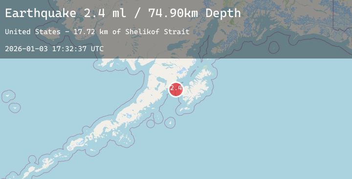
A 2.4 magnitude earthquake struck on 41 km WSW of Karluk, Alaska, at Sat, 03 Jan 2026 17:32:37 GMT. Depth: 74.9km. Reviewed by USGS seismologists, this minor quake occurred at a magnitude type of ml.
Magnitude
2.4
ml
Source
USGS
Intensity
-
Agency Reports
1 Sources| Source | Magnitude | Depth | Time |
|---|---|---|---|
| USGSPrimary | 2.4 | 75 km | 3 days ago |
Earthquake Details
AutomaticEvent IDusgs_ak2026afaitz
Tsunami PotentialNo
Magnitude Typeml
Nearest Places
- Shelikof Strait17.7 km
- Tombstone Rocks23.1 km
- Middle Cape24.4 km
- Cape Grant25.3 km
- Halibut Bay25.5 km
Comments
Join the discussion about this event.
Latest Earthquakes
2.5Mag
Timor Region
Time3 days ago
Depth26.03 km
SourceBMKG (Automatic)
4.5Mag
EASTERN TURKEY
Time3 days ago
Depth9.80 km
SourceEMSC (Automatic)
3.1Mag
South of Java, Indonesia
Time3 days ago
Depth10.00 km
SourceBMKG (Automatic)
2.7Mag
West Papua Region, Indonesia
Time3 days ago
Depth17.67 km
SourceBMKG (Automatic)
2.2Mag
WESTERN TEXAS
Time3 days ago
Depth4.70 km
SourceTX (Automatic)
Nearby Earthquakes
2.0Mag
66 km ESE of Egegik, Alaska
Time3 days ago
Depth126.50 km
SourceUSGS (Automatic)
2.0Mag
72 km W of Karluk, Alaska
Time3 days ago
Depth72.90 km
SourceUSGS (Automatic)
0.5Mag
84 km NNW of Karluk, Alaska
Time4 days ago
Depth2.80 km
SourceUSGS (Automatic)
1.8Mag
22 km NNE of Karluk, Alaska
Time4 days ago
Depth66.20 km
SourceUSGS (Automatic)
1.4Mag
87 km W of Karluk, Alaska
Time4 days ago
Depth4.50 km
SourceUSGS (Automatic)