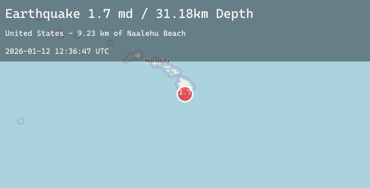
Earthquake 13 km SE of Naalehu, Hawaii
Mon, 12 Jan 2026 12:36:47 GMT
Time11 hours ago
Location
18.9745, -155.5002
Depth
31.2 KM
Event Summary
A 2.0 magnitude earthquake struck on 13 km SE of Naalehu, Hawaii, at Mon, 12 Jan 2026 12:36:47 GMT. Depth: 31.1800003051758km. Reviewed by USGS seismologists, this minor quake occurred at a magnitude type of md.
Magnitude
2.0
md
Source
USGS
Intensity
-
Agency Reports
3 Sources| Source | Magnitude | Depth | Time |
|---|---|---|---|
| USGSPrimary | 1.7 | 31 km | 11 hours ago |
| HV | 2.0 | 33 km | 10 hours ago |
| USGSPrimary | 2.0 | 33 km | 10 hours ago |
Earthquake Details
AutomaticEvent IDusgs_hv74872967
Tsunami PotentialNo
Magnitude Typemd
Nearest Places
- Naalehu Beach9.2 km
- Māniania Pali9.4 km
- Kāhilipali Point9.5 km
- Manāka‘ā Point9.5 km
- Alakaha9.5 km
Comments
Join the discussion about this event.
Latest Earthquakes
0.8Mag
SWITZERLAND
Time10 minutes ago
Depth1.50 km
SourceETHZ (Automatic)
0.9Mag
8 km SSE of South Van Horn, Alaska
Time15 minutes ago
Depth17.20 km
SourceUSGS (Automatic)
2.7Mag
Java, Indonesia
Time17 minutes ago
Depth30.45 km
SourceBMKG (Automatic)
1.4Mag
17 km N of Pine Mountain Club, CA
Time17 minutes ago
Depth14.49 km
SourceUSGS (Automatic)
4.1Mag
Southern Sumatra, Indonesia
Time27 minutes ago
Depth137.59 km
SourceBMKG (Automatic)
Nearby Earthquakes
2.2Mag
ISLAND OF HAWAII, HAWAII
Time1 hour ago
Depth33.60 km
SourceHV (Automatic)
2.0Mag
ISLAND OF HAWAII, HAWAII
Time7 hours ago
Depth0.50 km
SourceHV (Automatic)
1.8Mag
20 km ESE of Naalehu, Hawaii
Time12 hours ago
Depth36.28 km
SourceUSGS (Automatic)
1.7Mag
4 km NE of Pāhala, Hawaii
Time14 hours ago
Depth40.79 km
SourceUSGS (Automatic)
1.9Mag
20 km SSW of Leilani Estates, Hawaii
Time19 hours ago
Depth34.78 km
SourceUSGS (Automatic)