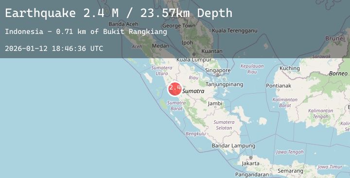
Earthquake Northern Sumatra, Indonesia
Mon, 12 Jan 2026 18:46:37 GMT
Time7 hours ago
Location
0.1018, 99.9596
Depth
14.8 KM
Event Summary
A 2.7 magnitude earthquake struck on Northern Sumatra, Indonesia, at Mon, 12 Jan 2026 18:46:37 GMT. Depth: 14.752964km. Reviewed by BMKG seismologists, this minor quake occurred at a magnitude type of M.
Magnitude
2.7
M
Source
BMKG
Intensity
-
Agency Reports
1 Sources| Source | Magnitude | Depth | Time |
|---|---|---|---|
| BMKGPrimary | 2.7 | 15 km | 7 hours ago |
Earthquake Details
AutomaticEvent IDbmg2026avns
Tsunami PotentialNo
Magnitude TypeM
Nearest Places
- Gunung Ophir3.7 km
- Karambil5.0 km
- Lubuklandur5.1 km
- Nagari Aua Kuniang6.2 km
- Simpang6.2 km
Comments
Join the discussion about this event.
Latest Earthquakes
1.5Mag
36 km NW of Ninilchik, Alaska
Time7 hours ago
Depth87.70 km
SourceUSGS (Automatic)
2.0Mag
34 km N of Chase, Alaska
Time8 hours ago
Depth72.80 km
SourceUSGS (Automatic)
2.9Mag
Java, Indonesia
Time8 hours ago
Depth33.37 km
SourceBMKG (Automatic)
2.0Mag
Sumbawa Region, Indonesia
Time8 hours ago
Depth10.00 km
SourceBMKG (Automatic)
2.3Mag
Sumba Region, Indonesia
Time8 hours ago
Depth41.15 km
SourceBMKG (Automatic)
Nearby Earthquakes
No significant earthquakes nearby recently.