Earthquake South of Sumbawa, Indonesia
Tue, 13 Jan 2026 04:25:20 GMT
Time2 hours ago
Location
-10.0938, 118.8556
Depth
0.0 KM
Event Summary
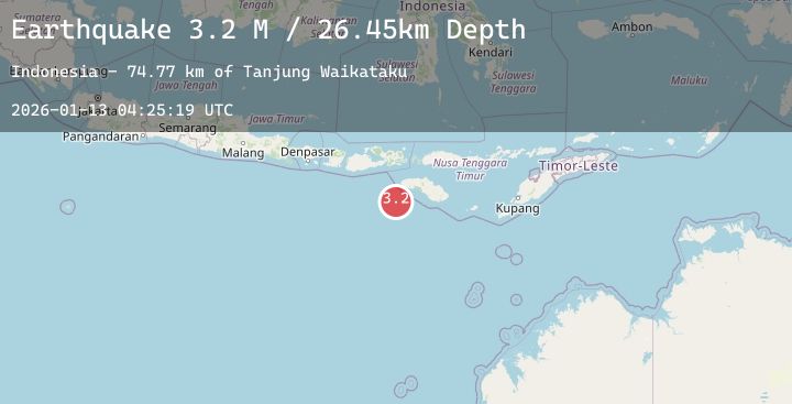
A 3.7 magnitude earthquake struck on South of Sumbawa, Indonesia, at Tue, 13 Jan 2026 04:25:20 GMT. Depth: 0km. Reviewed by BMKG seismologists, this minor quake occurred at a magnitude type of M.
Magnitude
3.7
M
Source
BMKG
Intensity
-
Agency Reports
1 Sources| Source | Magnitude | Depth | Time |
|---|---|---|---|
| BMKGPrimary | 3.7 | 0 km | 2 hours ago |
Earthquake Details
AutomaticEvent IDbmg2026awgu
Tsunami PotentialNo
Magnitude TypeM
Nearest Places
- Tanjung Waikataku49.2 km
- Tanjung Mareha49.4 km
- Loko Waikataku49.5 km
- Pulau Malondobara49.7 km
- Pulau Barenggemonokodi49.8 km
Comments
Join the discussion about this event.
Latest Earthquakes
1.0Mag
85 km NW of Karluk, Alaska
Time2 hours ago
Depth5.00 km
SourceUSGS (Automatic)
1.1Mag
9 km SSE of Livermore, CA
Time2 hours ago
Depth8.68 km
SourceUSGS (Automatic)
3.9Mag
Banda Sea
Time2 hours ago
Depth364.15 km
SourceBMKG (Automatic)
2.0Mag
50 km WSW of Tatitlek, Alaska
Time2 hours ago
Depth9.20 km
SourceUSGS (Automatic)
2.5Mag
GREECE
Time2 hours ago
Depth13.10 km
SourceNOA (Automatic)
Nearby Earthquakes
2.4Mag
Sumbawa Region, Indonesia
Time4 hours ago
Depth37.73 km
SourceBMKG (Automatic)
2.8Mag
Sumbawa Region, Indonesia
Time8 hours ago
Depth7.80 km
SourceBMKG (Automatic)
2.3Mag
Sumba Region, Indonesia
Time12 hours ago
Depth41.15 km
SourceBMKG (Automatic)
2.5Mag
Sumba Region, Indonesia
Time15 hours ago
Depth37.84 km
SourceBMKG (Automatic)