Earthquake Sumbawa Region, Indonesia
Mon, 12 Jan 2026 22:36:19 GMT
Time3 hours ago
Location
-9.7993, 118.8587
Depth
7.8 KM
Event Summary
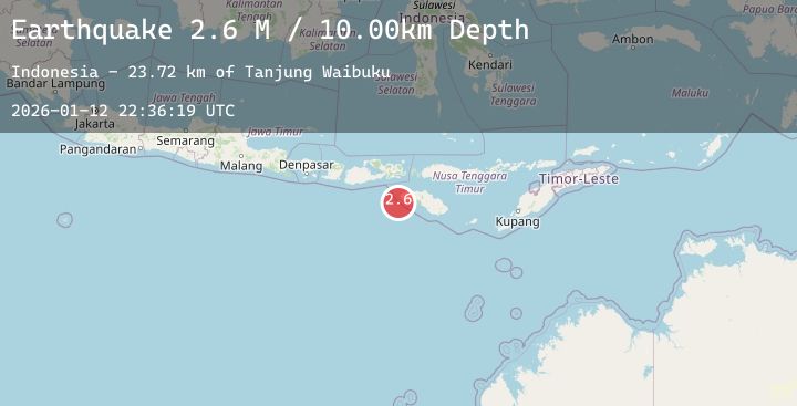
A 2.8 magnitude earthquake struck on Sumbawa Region, Indonesia, at Mon, 12 Jan 2026 22:36:19 GMT. Depth: 7.80493km. Reviewed by BMKG seismologists, this minor quake occurred at a magnitude type of M.
Magnitude
2.8
M
Source
BMKG
Intensity
-
Agency Reports
1 Sources| Source | Magnitude | Depth | Time |
|---|---|---|---|
| BMKGPrimary | 2.8 | 8 km | 3 hours ago |
Earthquake Details
AutomaticEvent IDbmg2026avvh
Tsunami PotentialNo
Magnitude TypeM
Nearest Places
- Tanjung Waibuku23.0 km
- Waibuku23.2 km
- Tanjung Mbulir23.3 km
- Mbulir23.7 km
- Palendepara23.8 km
Comments
Join the discussion about this event.
Latest Earthquakes
2.0Mag
70 km ESE of Denali National Park, Alaska
Time3 hours ago
Depth113.00 km
SourceUSGS (Automatic)
2.7Mag
Timor Region
Time3 hours ago
Depth5.00 km
SourceBMKG (Automatic)
2.8Mag
Flores Sea
Time3 hours ago
Depth33.56 km
SourceBMKG (Automatic)
1.9Mag
51 km WNW of Toyah, Texas
Time3 hours ago
Depth0.00 km
SourceUSGS (Automatic)
0.7Mag
3 km NW of The Geysers, CA
Time3 hours ago
Depth3.53 km
SourceUSGS (Automatic)