Earthquake Southwest of Sumatra, Indonesia
Tue, 13 Jan 2026 09:53:42 GMT
Time1 day ago
Location
-5.1509, 101.8619
Depth
40.1 KM
Event Summary
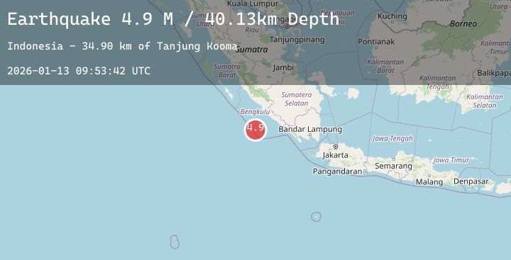
A 4.9 magnitude earthquake struck on Southwest of Sumatra, Indonesia, at Tue, 13 Jan 2026 09:53:42 GMT. Depth: 40.125099km. Reviewed by BMKG seismologists, this light quake occurred at a magnitude type of M.
Magnitude
4.9
M
Source
BMKG
Intensity
-
Agency Reports
1 Sources| Source | Magnitude | Depth | Time |
|---|---|---|---|
| BMKGPrimary | 4.9 | 40 km | 1 day ago |
Earthquake Details
AutomaticEvent IDbmg2026awrq
Tsunami PotentialNo
Magnitude TypeM
Nearest Places
- Tanjung Kooma34.9 km
- Sungai Hubaje35.9 km
- Batang Mea36.3 km
- Desa Banjar Sari36.7 km
- Lakoaha36.8 km
Comments
Join the discussion about this event.
Latest Earthquakes
1.2Mag
24 km ENE of Minto, Alaska
Time1 day ago
Depth12.40 km
SourceUSGS (Automatic)
1.6Mag
26 km WSW of Hawthorne, Nevada
Time1 day ago
Depth9.47 km
SourceUSGS (Automatic)
2.5Mag
111 km WSW of Adak, Alaska
Time1 day ago
Depth11.70 km
SourceUSGS
1.7Mag
5 km NNE of Pāhala, Hawaii
Time1 day ago
Depth44.76 km
SourceUSGS (Automatic)
2.6Mag
Java, Indonesia
Time1 day ago
Depth52.32 km
SourceBMKG (Automatic)