Earthquake Flores Sea
Tue, 13 Jan 2026 14:48:34 GMT
Time1 day ago
Location
-7.7309, 118.2637
Depth
458.1 KM
Event Summary
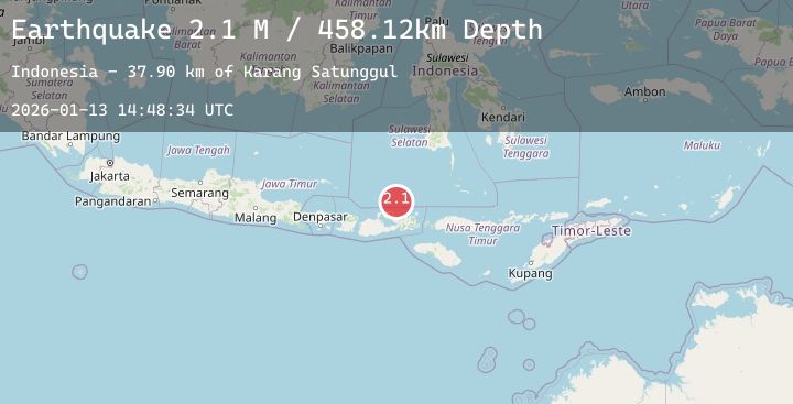
A 2.1 magnitude earthquake struck on Flores Sea, at Tue, 13 Jan 2026 14:48:34 GMT. Depth: 458.12439km. Reviewed by BMKG seismologists, this minor quake occurred at a magnitude type of M.
Magnitude
2.1
M
Source
BMKG
Intensity
-
Agency Reports
1 Sources| Source | Magnitude | Depth | Time |
|---|---|---|---|
| BMKGPrimary | 2.1 | 458 km | 1 day ago |
Earthquake Details
AutomaticEvent IDbmg2026axbk
Tsunami PotentialNo
Magnitude TypeM
Nearest Places
- Karang Satunggul37.9 km
- Tanjung Katupa46.5 km
- Mintaunae47.0 km
- Pulau Satunggul47.3 km
- Kawinda48.1 km
Comments
Join the discussion about this event.
Latest Earthquakes
1.2Mag
84 km NNW of Karluk, Alaska
Time1 day ago
Depth5.00 km
SourceUSGS (Automatic)
2.0Mag
ISLAND OF HAWAII, HAWAII
Time1 day ago
Depth3.20 km
SourceHV (Automatic)
1.6Mag
EASTERN TURKEY
Time1 day ago
Depth7.70 km
SourceAFAD (Automatic)
2.5Mag
ANTOFAGASTA, CHILE
Time1 day ago
Depth151.00 km
SourceCSN (Automatic)
2.4Mag
FRANCE
Time1 day ago
Depth5.00 km
SourceReNaSS (Automatic)
Nearby Earthquakes
2.2Mag
Bali Sea
Time1 day ago
Depth23.29 km
SourceBMKG (Automatic)
2.4Mag
Flores Region, Indonesia
Time2 days ago
Depth17.13 km
SourceBMKG (Automatic)
2.4Mag
Flores Region, Indonesia
Time2 days ago
Depth32.78 km
SourceBMKG (Automatic)
2.3Mag
Sumbawa Region, Indonesia
Time2 days ago
Depth24.94 km
SourceBMKG (Automatic)
2.8Mag
Flores Sea
Time2 days ago
Depth33.56 km
SourceBMKG (Automatic)