Earthquake 84 km NNW of Karluk, Alaska
Tue, 13 Jan 2026 14:49:23 GMT
Time1 day ago
Location
58.2730, -154.9760
Depth
5.0 KM
Event Summary
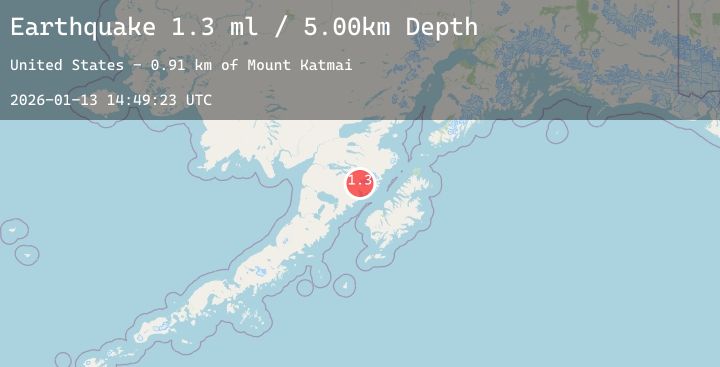
A 1.3 magnitude earthquake struck on 84 km NNW of Karluk, Alaska, at Tue, 13 Jan 2026 14:49:23 GMT. Depth: 5km. Reviewed by USGS seismologists, this minor quake occurred at a magnitude type of ml.
Magnitude
1.3
ml
Source
USGS
Intensity
-
Agency Reports
4 Sources| Source | Magnitude | Depth | Time |
|---|---|---|---|
| USGSPrimary | 1.1 | 5 km | 1 day ago |
| USGSPrimary | 1.2 | 5 km | 1 day ago |
| USGSPrimary | 1.3 | 5 km | 1 day ago |
| USGSPrimary | 1.3 | 5 km | 1 day ago |
Earthquake Details
AutomaticEvent IDusgs_ak2026axeezi
Tsunami PotentialNo
Magnitude Typeml
Nearest Places
- Crater Lake1.1 km
- Mount Katmai1.6 km
- The Knife Creek Glaciers2.4 km
- The Knife Creek Glacier3.8 km
- Noisy Glacier6.6 km
Comments
Join the discussion about this event.
Latest Earthquakes
2.9Mag
Savu Sea
Time1 day ago
Depth20.04 km
SourceBMKG (Automatic)
0.9Mag
80 km S of McCarthy, Alaska
Time1 day ago
Depth17.30 km
SourceUSGS (Automatic)
1.7Mag
15 km SSW of Calumet, Oklahoma
Time1 day ago
Depth17.65 km
SourceUSGS
1.2Mag
WESTERN TURKEY
Time1 day ago
Depth7.00 km
SourceAFAD (Automatic)
2.8Mag
Minahassa Peninsula, Sulawesi
Time1 day ago
Depth22.19 km
SourceBMKG (Automatic)
Nearby Earthquakes
1.2Mag
86 km NNW of Karluk, Alaska
Time2 days ago
Depth5.00 km
SourceUSGS (Automatic)
1.0Mag
85 km NW of Karluk, Alaska
Time2 days ago
Depth5.00 km
SourceUSGS (Automatic)
1.4Mag
91 km WNW of Karluk, Alaska
Time2 days ago
Depth75.40 km
SourceUSGS (Automatic)
0.9Mag
85 km NNW of Karluk, Alaska
Time2 days ago
Depth5.00 km
SourceUSGS (Automatic)
1.8Mag
88 km WNW of Karluk, Alaska
Time2 days ago
Depth12.20 km
SourceUSGS (Automatic)