Earthquake 38 km WNW of Tatitlek, Alaska
Tue, 13 Jan 2026 17:47:10 GMT
Time1 day ago
Location
60.9820, -147.3530
Depth
12.9 KM
Event Summary
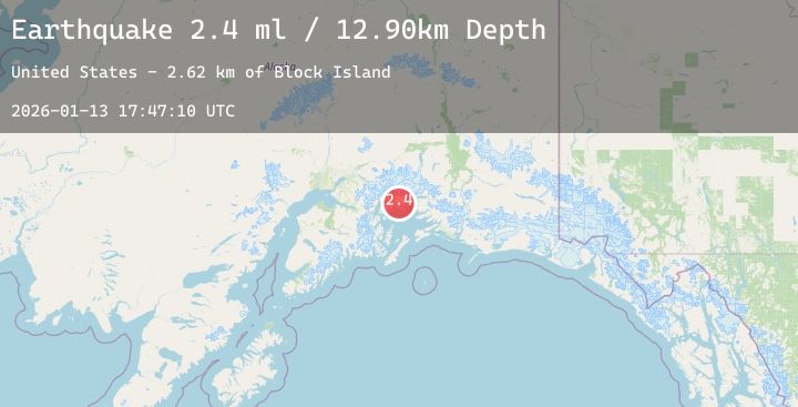
A 2.4 magnitude earthquake struck on 38 km WNW of Tatitlek, Alaska, at Tue, 13 Jan 2026 17:47:10 GMT. Depth: 12.9km. Reviewed by USGS seismologists, this minor quake occurred at a magnitude type of ml.
Magnitude
2.4
ml
Source
USGS
Intensity
-
Agency Reports
1 Sources| Source | Magnitude | Depth | Time |
|---|---|---|---|
| USGSPrimary | 2.4 | 13 km | 1 day ago |
Earthquake Details
AutomaticEvent IDusgs_ak2026axkcek
Tsunami PotentialNo
Magnitude Typeml
Nearest Places
- Block Island2.6 km
- Billys Hole3.1 km
- Cedar Bay3.4 km
- Schrader Island6.0 km
- Long Bay6.1 km
Comments
Join the discussion about this event.
Latest Earthquakes
2.3Mag
ISLAND OF HAWAII, HAWAII
Time1 day ago
Depth35.10 km
SourceHV (Automatic)
2.3Mag
South of Bali, Indonesia
Time1 day ago
Depth29.88 km
SourceBMKG (Automatic)
2.6Mag
Northern Sumatra, Indonesia
Time1 day ago
Depth6.31 km
SourceBMKG (Automatic)
1.6Mag
12 km WSW of Stanton, Texas
Time1 day ago
Depth3.61 km
SourceUSGS (Automatic)
1.6Mag
2 km ENE of Studio City, CA
Time1 day ago
Depth15.71 km
SourceUSGS (Automatic)