Earthquake Near North Coast of West Papua
Thu, 15 Jan 2026 15:50:02 GMT
Time10 hours ago
Location
-2.2930, 140.0810
Depth
10.0 KM
Event Summary
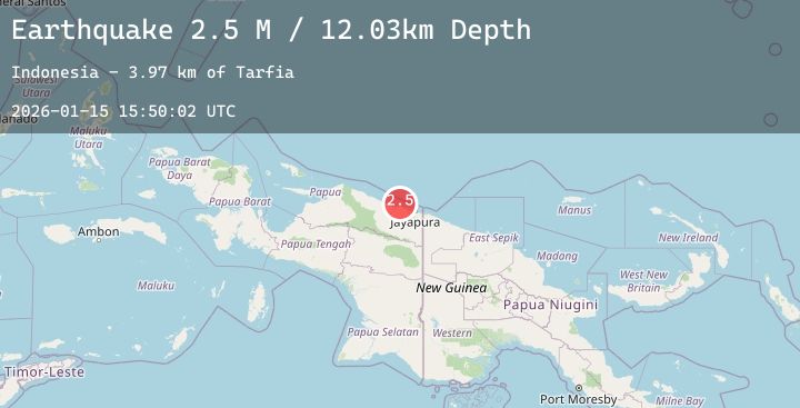
A 2.5 magnitude earthquake struck on Near North Coast of West Papua, at Thu, 15 Jan 2026 15:50:02 GMT. Depth: 10km. Reviewed by BMKG seismologists, this minor quake occurred at a magnitude type of M.
Magnitude
2.5
M
Source
BMKG
Intensity
-
Agency Reports
1 Sources| Source | Magnitude | Depth | Time |
|---|---|---|---|
| BMKGPrimary | 2.5 | 10 km | 10 hours ago |
Earthquake Details
AutomaticEvent IDbmg2026bauj
Tsunami PotentialNo
Magnitude TypeM
Nearest Places
- Tarfia2.3 km
- Tanjung Kamadara4.9 km
- Wai Humbei6.3 km
- Teluk Matterer6.9 km
- Moaif7.2 km
Comments
Join the discussion about this event.
Latest Earthquakes
1.3Mag
13 km ENE of Fox, Alaska
Time10 hours ago
Depth1.90 km
SourceUSGS (Automatic)
2.9Mag
Flores Region, Indonesia
Time11 hours ago
Depth165.35 km
SourceBMKG (Automatic)
1.7Mag
23 km SSW of Mammoth, Wyoming
Time11 hours ago
Depth5.10 km
SourceUSGS
1.5Mag
SPAIN
Time11 hours ago
Depth12.90 km
SourceIGN (Automatic)
2.0Mag
22 km SSE of Redway, CA
Time11 hours ago
Depth5.07 km
SourceUSGS (Automatic)
Nearby Earthquakes
2.3Mag
Near North Coast of West Papua
Time12 hours ago
Depth10.00 km
SourceBMKG (Automatic)
2.3Mag
Near North Coast of West Papua
Time19 hours ago
Depth18.62 km
SourceBMKG (Automatic)
2.9Mag
West Papua, Indonesia
Time22 hours ago
Depth27.31 km
SourceBMKG (Automatic)
2.9Mag
Near North Coast of West Papua
Time1 day ago
Depth10.00 km
SourceBMKG (Automatic)
3.7Mag
West Papua Region, Indonesia
Time1 day ago
Depth14.61 km
SourceBMKG (Automatic)