Earthquake Near North Coast of West Papua
Thu, 15 Jan 2026 18:22:56 GMT
Time7 hours ago
Location
-2.3149, 140.1619
Depth
5.2 KM
Event Summary
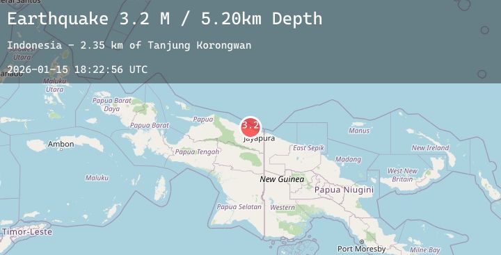
A 3.2 magnitude earthquake struck on Near North Coast of West Papua, at Thu, 15 Jan 2026 18:22:56 GMT. Depth: 5.197038km. Reviewed by BMKG seismologists, this minor quake occurred at a magnitude type of M.
Magnitude
3.2
M
Source
BMKG
Intensity
-
Agency Reports
1 Sources| Source | Magnitude | Depth | Time |
|---|---|---|---|
| BMKGPrimary | 3.2 | 5 km | 7 hours ago |
Earthquake Details
AutomaticEvent IDbmg2026bazl
Tsunami PotentialNo
Magnitude TypeM
Nearest Places
- Tanjung Korongwan2.3 km
- Pulau Besar2.5 km
- Kampung Yougapsa2.8 km
- Muris Kecil3.9 km
- Teluk Matterer4.0 km
Comments
Join the discussion about this event.
Latest Earthquakes
2.2Mag
SOUTHERN CALIFORNIA
Time7 hours ago
Depth12.80 km
SourceSCSN (Automatic)
0.8Mag
10 km S of Idyllwild, CA
Time7 hours ago
Depth13.49 km
SourceUSGS (Automatic)
3.9Mag
HOKKAIDO, JAPAN REGION
Time7 hours ago
Depth40.00 km
SourceJMA (Automatic)
2.7Mag
38 km W of Petersville, Alaska
Time7 hours ago
Depth95.40 km
SourceUSGS (Automatic)
1.9Mag
DODECANESE ISLANDS, GREECE
Time7 hours ago
Depth16.00 km
SourceEMSC (Automatic)
Nearby Earthquakes
2.5Mag
Near North Coast of West Papua
Time9 hours ago
Depth10.00 km
SourceBMKG (Automatic)
2.3Mag
Near North Coast of West Papua
Time10 hours ago
Depth10.00 km
SourceBMKG (Automatic)
2.3Mag
Near North Coast of West Papua
Time18 hours ago
Depth18.62 km
SourceBMKG (Automatic)
2.9Mag
West Papua, Indonesia
Time20 hours ago
Depth27.31 km
SourceBMKG (Automatic)
2.9Mag
Near North Coast of West Papua
Time1 day ago
Depth10.00 km
SourceBMKG (Automatic)