Earthquake Sumbawa Region, Indonesia
Fri, 16 Jan 2026 03:36:30 GMT
Time2 hours ago
Location
-8.2413, 117.7734
Depth
22.6 KM
Event Summary
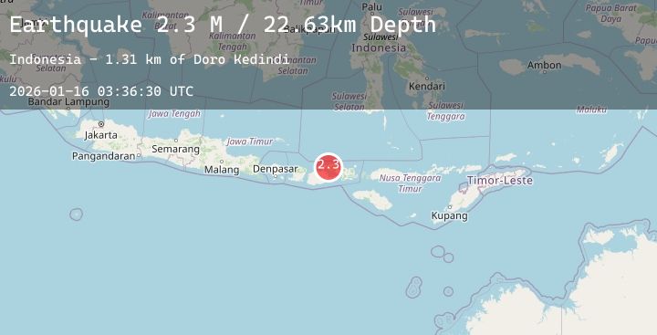
A 2.3 magnitude earthquake struck on Sumbawa Region, Indonesia, at Fri, 16 Jan 2026 03:36:30 GMT. Depth: 22.634645km. Reviewed by BMKG seismologists, this minor quake occurred at a magnitude type of M.
Magnitude
2.3
M
Source
BMKG
Intensity
-
Agency Reports
1 Sources| Source | Magnitude | Depth | Time |
|---|---|---|---|
| BMKGPrimary | 2.3 | 23 km | 2 hours ago |
Earthquake Details
AutomaticEvent IDbmg2026bbrr
Tsunami PotentialNo
Magnitude TypeM
Nearest Places
- Sori Garuda2.3 km
- Legamba2.4 km
- Papekat2.8 km
- Doro Legamba3.0 km
- Oientala3.1 km
Comments
Join the discussion about this event.
Latest Earthquakes
0.7Mag
3 km NW of The Geysers, CA
Time2 hours ago
Depth1.14 km
SourceUSGS (Automatic)
2.6Mag
NEAR COAST OF NICARAGUA
Time2 hours ago
Depth29.00 km
SourceINET (Automatic)
3.4Mag
7 km WSW of Morongo Valley, CA
Time2 hours ago
Depth7.75 km
SourceUSGS (Automatic)
6.0Mag
off the coast of Oregon
Time2 hours ago
Depth7.15 km
SourceUSGS
1.7Mag
57 km E of Egegik, Alaska
Time2 hours ago
Depth10.50 km
SourceUSGS (Automatic)
Nearby Earthquakes
2.0Mag
Flores Sea
Time7 hours ago
Depth10.96 km
SourceBMKG (Automatic)
2.1Mag
Bali Sea
Time7 hours ago
Depth10.19 km
SourceBMKG (Automatic)
2.3Mag
Bali Sea
Time12 hours ago
Depth13.85 km
SourceBMKG (Automatic)
2.1Mag
Sumbawa Region, Indonesia
Time16 hours ago
Depth2.25 km
SourceBMKG (Automatic)
3.4Mag
Bali Sea
Time17 hours ago
Depth16.75 km
SourceBMKG (Automatic)