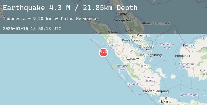
Earthquake Northern Sumatra, Indonesia
Fri, 16 Jan 2026 15:58:15 GMT
Time1 hour ago
Location
0.8204, 97.3508
Depth
26.9 KM
Event Summary
A 3.9 magnitude earthquake struck on Northern Sumatra, Indonesia, at Fri, 16 Jan 2026 15:58:15 GMT. Depth: 26.912834km. Reviewed by BMKG seismologists, this minor quake occurred at a magnitude type of M.
Magnitude
3.9
M
Source
BMKG
Intensity
-
Agency Reports
2 Sources| Source | Magnitude | Depth | Time |
|---|---|---|---|
| BMKGPrimary | 3.9 | 27 km | 1 hour ago |
| BMKGPrimary | 3.9 | 27 km | 1 hour ago |
Earthquake Details
AutomaticEvent IDbmg2026bcqe
Tsunami PotentialNo
Magnitude TypeM
Nearest Places
- Desa Bawasawa0.3 km
- Balojasa0.3 km
- Tanjung Obotokofa0.8 km
- Erohulo1.1 km
- Pulau Bawa1.1 km
Comments
Join the discussion about this event.
Latest Earthquakes
2.8Mag
6 km N of Houston, Alaska
Time1 hour ago
Depth27.00 km
SourceUSGS (Automatic)
2.0Mag
Sumbawa Region, Indonesia
Time1 hour ago
Depth7.32 km
SourceBMKG (Automatic)
2.9Mag
JAVA, INDONESIA
Time1 hour ago
Depth7.00 km
SourceBMKG (Automatic)
3.7Mag
West Papua, Indonesia
Time1 hour ago
Depth9.77 km
SourceBMKG (Automatic)
2.4Mag
Sumbawa Region, Indonesia
Time1 hour ago
Depth18.20 km
SourceBMKG (Automatic)
Nearby Earthquakes
No significant earthquakes nearby recently.