Earthquake West Papua, Indonesia
Fri, 16 Jan 2026 15:56:20 GMT
Time1 hour ago
Location
-4.3222, 139.3336
Depth
9.8 KM
Event Summary
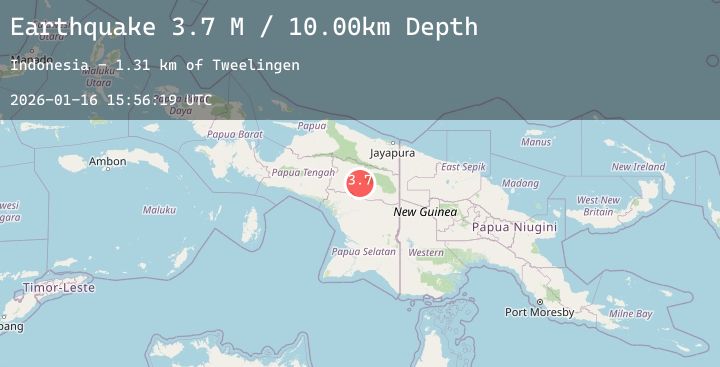
A 3.7 magnitude earthquake struck on West Papua, Indonesia, at Fri, 16 Jan 2026 15:56:20 GMT. Depth: 9.774971km. Reviewed by BMKG seismologists, this minor quake occurred at a magnitude type of M.
Magnitude
3.7
M
Source
BMKG
Intensity
-
Agency Reports
1 Sources| Source | Magnitude | Depth | Time |
|---|---|---|---|
| BMKGPrimary | 3.7 | 10 km | 1 hour ago |
Earthquake Details
AutomaticEvent IDbmg2026bcqc
Tsunami PotentialNo
Magnitude TypeM
Nearest Places
- Kampung Oakbisik1.9 km
- Kampung Silakma1.9 km
- Distrik Kwikma3.3 km
- Kampung Momenggama3.5 km
- Kampung Hwealoma4.6 km
Comments
Join the discussion about this event.
Latest Earthquakes
2.4Mag
Sumbawa Region, Indonesia
Time1 hour ago
Depth18.20 km
SourceBMKG (Automatic)
2.9Mag
Northern Molucca Sea
Time1 hour ago
Depth27.09 km
SourceBMKG (Automatic)
2.9Mag
Java, Indonesia
Time2 hours ago
Depth39.09 km
SourceBMKG (Automatic)
4.2Mag
HOKKAIDO, JAPAN REGION
Time2 hours ago
Depth0.00 km
SourceJMA (Automatic)
3.2Mag
Northern Molucca Sea
Time2 hours ago
Depth64.49 km
SourceBMKG (Automatic)
Nearby Earthquakes
No significant earthquakes nearby recently.