Earthquake Sumbawa Region, Indonesia
Fri, 16 Jan 2026 16:00:37 GMT
Time3 hours ago
Location
-9.4458, 118.0090
Depth
7.3 KM
Event Summary
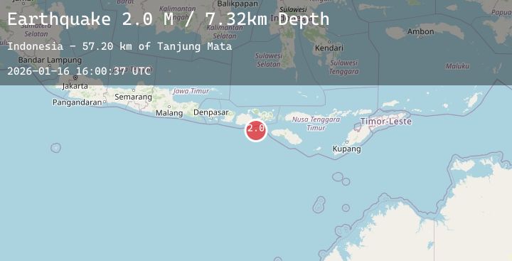
A 2.0 magnitude earthquake struck on Sumbawa Region, Indonesia, at Fri, 16 Jan 2026 16:00:37 GMT. Depth: 7.324365km. Reviewed by BMKG seismologists, this minor quake occurred at a magnitude type of M.
Magnitude
2.0
M
Source
BMKG
Intensity
-
Agency Reports
1 Sources| Source | Magnitude | Depth | Time |
|---|---|---|---|
| BMKGPrimary | 2.0 | 7 km | 3 hours ago |
Earthquake Details
AutomaticEvent IDbmg2026bcqg
Tsunami PotentialNo
Magnitude TypeM
Nearest Places
- Tanjung Mata57.1 km
- Teluk Baru58.5 km
- Kokar Aipanam58.6 km
- Teluk Jongrusak58.6 km
- Brang Aimumit58.8 km
Comments
Join the discussion about this event.
Latest Earthquakes
3.9Mag
Northern Sumatra, Indonesia
Time3 hours ago
Depth26.91 km
SourceBMKG (Automatic)
3.7Mag
West Papua, Indonesia
Time3 hours ago
Depth9.77 km
SourceBMKG (Automatic)
2.4Mag
Sumbawa Region, Indonesia
Time3 hours ago
Depth18.20 km
SourceBMKG (Automatic)
2.9Mag
Northern Molucca Sea
Time3 hours ago
Depth27.09 km
SourceBMKG (Automatic)
3.3Mag
CENTRAL ITALY
Time3 hours ago
Depth23.40 km
SourceINGV (Automatic)
Nearby Earthquakes
2.6Mag
Sumbawa Region, Indonesia
Time22 hours ago
Depth83.24 km
SourceBMKG (Automatic)
2.0Mag
Sumbawa Region, Indonesia
Time23 hours ago
Depth26.94 km
SourceBMKG (Automatic)
2.2Mag
Sumbawa Region, Indonesia
Time1 day ago
Depth20.89 km
SourceBMKG (Automatic)
2.4Mag
Sumbawa Region, Indonesia
Time1 day ago
Depth84.33 km
SourceBMKG (Automatic)