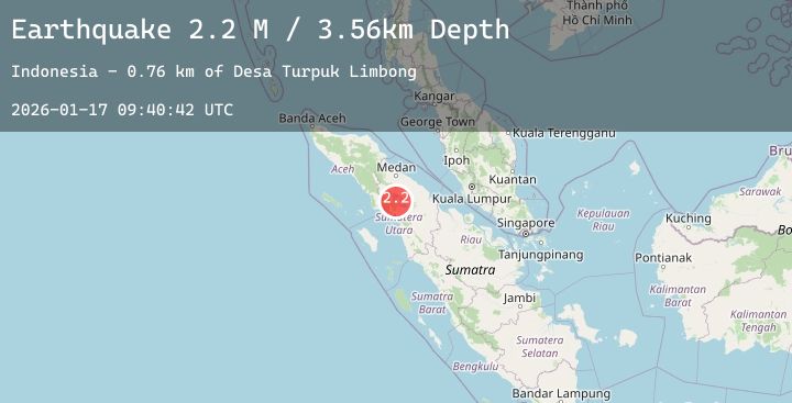
Earthquake Northern Sumatra, Indonesia
Sat, 17 Jan 2026 09:40:41 GMT
Time2 hours ago
Location
2.5241, 98.6092
Depth
13.0 KM
Event Summary
A 2.5 magnitude earthquake struck on Northern Sumatra, Indonesia, at Sat, 17 Jan 2026 09:40:41 GMT. Depth: 13.006648km. Reviewed by BMKG seismologists, this minor quake occurred at a magnitude type of M.
Magnitude
2.5
M
Source
BMKG
Intensity
-
Agency Reports
1 Sources| Source | Magnitude | Depth | Time |
|---|---|---|---|
| BMKGPrimary | 2.5 | 13 km | 2 hours ago |
Earthquake Details
AutomaticEvent IDbmg2026bdzf
Tsunami PotentialNo
Magnitude TypeM
Nearest Places
- Desa Partungkonaginjang2.4 km
- Tele2.5 km
- Dolok Koting2.9 km
- Adian Padang3.5 km
- Pandumahan3.8 km
Comments
Join the discussion about this event.
Latest Earthquakes
1.6Mag
40 km NW of Valdez, Alaska
Time1 hour ago
Depth23.30 km
SourceUSGS (Automatic)
1.2Mag
7 km NW of The Geysers, CA
Time1 hour ago
Depth0.99 km
SourceUSGS (Automatic)
3.6Mag
CENTRAL ALASKA
Time1 hour ago
Depth0.00 km
SourceAK (Automatic)
1.7Mag
WESTERN TURKEY
Time1 hour ago
Depth14.70 km
SourceEMSC (Automatic)
1.0Mag
84 km NNW of Karluk, Alaska
Time2 hours ago
Depth5.00 km
SourceUSGS (Automatic)
Nearby Earthquakes
No significant earthquakes nearby recently.