Earthquake 7 km NW of The Geysers, CA
Sat, 17 Jan 2026 10:06:38 GMT
Time1 hour ago
Location
38.8147, -122.8190
Depth
1.0 KM
Event Summary
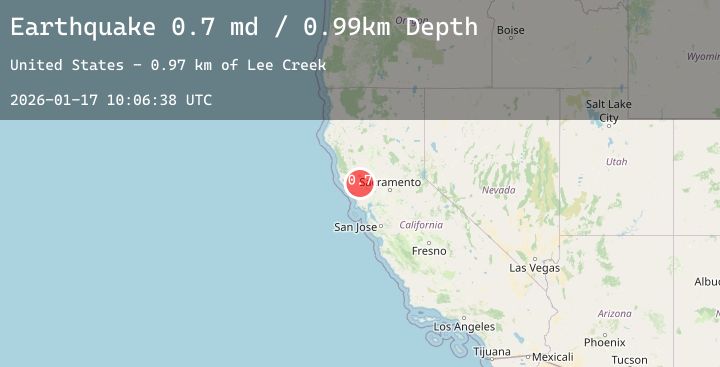
A 1.8 magnitude earthquake struck on 7 km NW of The Geysers, CA, at Sat, 17 Jan 2026 10:06:38 GMT. Depth: 0.990000009536743km. Reviewed by USGS seismologists, this minor quake occurred at a magnitude type of md.
Magnitude
1.8
md
Source
USGS
Intensity
-
Agency Reports
6 Sources| Source | Magnitude | Depth | Time |
|---|---|---|---|
| USGSPrimary | 0.7 | 1 km | 1 hour ago |
| USGSPrimary | 1.2 | 7 km | 1 hour ago |
| USGSPrimary | 0.9 | 2 km | 1 hour ago |
| USGSPrimary | 1.4 | 3 km | 1 hour ago |
| USGSPrimary | 1.8 | 1 km | 1 hour ago |
| USGSPrimary | 1.1 | 3 km | 59 minutes ago |
Earthquake Details
AutomaticEvent IDusgs_nc75297001
Tsunami PotentialNo
Magnitude Typemd
Nearest Places
- Bear Canyon1.6 km
- Adit Number Two1.7 km
- Coldwater Canyon1.9 km
- Geyser Canyon1.9 km
- Buckman Mines Headquarters2.0 km
Comments
Join the discussion about this event.
Latest Earthquakes
2.1Mag
31 km NW of Toyah, Texas
Time5 minutes ago
Depth4.46 km
SourceUSGS (Automatic)
3.1Mag
Off West Coast of Northern Sumatra
Time15 minutes ago
Depth40.28 km
SourceBMKG (Automatic)
2.5Mag
HONDURAS
Time17 minutes ago
Depth11.00 km
SourceINET (Automatic)
2.2Mag
Flores Region, Indonesia
Time17 minutes ago
Depth11.17 km
SourceBMKG (Automatic)
3.6Mag
West Papua Region, Indonesia
Time21 minutes ago
Depth10.00 km
SourceBMKG (Automatic)
Nearby Earthquakes
1.6Mag
20 km W of Winters, CA
Time26 minutes ago
Depth4.63 km
SourceUSGS (Automatic)
1.3Mag
2 km N of The Geysers, CA
Time2 hours ago
Depth0.62 km
SourceUSGS (Automatic)
1.4Mag
8 km NW of The Geysers, CA
Time4 hours ago
Depth1.91 km
SourceUSGS (Automatic)
1.3Mag
6 km NNW of The Geysers, CA
Time5 hours ago
Depth1.87 km
SourceUSGS (Automatic)
1.3Mag
2 km NNW of The Geysers, CA
Time6 hours ago
Depth3.48 km
SourceUSGS (Automatic)