Earthquake Southern Molucca Sea
Sat, 17 Jan 2026 12:53:20 GMT
Time1 hour ago
Location
-0.3140, 124.6262
Depth
10.0 KM
Event Summary
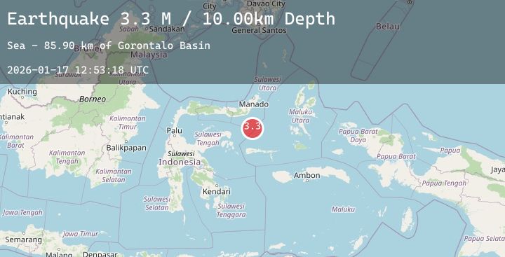
A 3.4 magnitude earthquake struck on Southern Molucca Sea, at Sat, 17 Jan 2026 12:53:20 GMT. Depth: 10km. Reviewed by BMKG seismologists, this minor quake occurred at a magnitude type of M.
Magnitude
3.4
M
Source
BMKG
Intensity
-
Agency Reports
1 Sources| Source | Magnitude | Depth | Time |
|---|---|---|---|
| BMKGPrimary | 3.4 | 10 km | 1 hour ago |
Earthquake Details
AutomaticEvent IDbmg2026befo
Tsunami PotentialNo
Magnitude TypeM
Nearest Places
- Gorontalo Basin70.0 km
- Pulau Lampu86.3 km
- Tanjung Payunga86.5 km
- Pulau Putuse87.0 km
- Libuton Pondanmointok87.0 km
Comments
Join the discussion about this event.
Latest Earthquakes
3.4Mag
NORTH ISLAND OF NEW ZEALAND
Time1 hour ago
Depth150.50 km
SourceGNS (Automatic)
2.3Mag
Flores Region, Indonesia
Time1 hour ago
Depth8.82 km
SourceBMKG (Automatic)
2.4Mag
Northern Sumatra, Indonesia
Time2 hours ago
Depth3.00 km
SourceBMKG (Automatic)
4.1Mag
SOUTHWESTERN RYUKYU ISL., JAPAN
Time2 hours ago
Depth20.00 km
SourceJMA (Automatic)
1.8Mag
126 km SSE of McCarthy, Alaska
Time2 hours ago
Depth6.10 km
SourceUSGS (Automatic)
Nearby Earthquakes
No significant earthquakes nearby recently.