Earthquake Minahassa Peninsula, Sulawesi
Sat, 17 Jan 2026 17:40:40 GMT
Time2 hours ago
Location
1.3417, 120.8745
Depth
5.0 KM
Event Summary
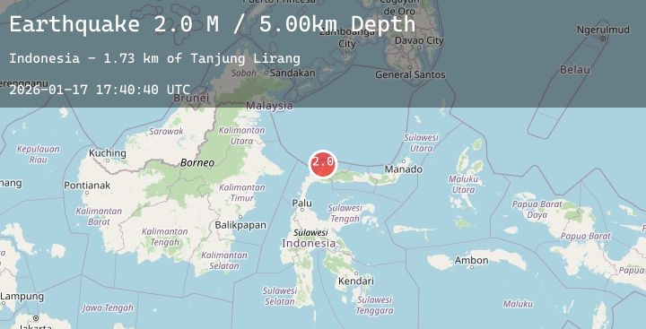
A 2.0 magnitude earthquake struck on Minahassa Peninsula, Sulawesi, at Sat, 17 Jan 2026 17:40:40 GMT. Depth: 5km. Reviewed by BMKG seismologists, this minor quake occurred at a magnitude type of M.
Magnitude
2.0
M
Source
BMKG
Intensity
-
Agency Reports
1 Sources| Source | Magnitude | Depth | Time |
|---|---|---|---|
| BMKGPrimary | 2.0 | 5 km | 2 hours ago |
Earthquake Details
AutomaticEvent IDbmg2026bepb
Tsunami PotentialNo
Magnitude TypeM
Nearest Places
- Tanjung Lirang1.7 km
- Tanjung Taragusung2.5 km
- Tanjung Lingadan2.6 km
- Botakna Tambakula2.8 km
- Datulela2.9 km
Comments
Join the discussion about this event.
Latest Earthquakes
2.4Mag
18 km NW of Girdwood, Alaska
Time2 hours ago
Depth17.30 km
SourceUSGS (Automatic)
2.3Mag
Minahassa Peninsula, Sulawesi
Time2 hours ago
Depth160.58 km
SourceBMKG (Automatic)
1.7Mag
10 km NW of The Geysers, CA
Time2 hours ago
Depth1.66 km
SourceUSGS (Automatic)
1.7Mag
39 km NW of Indian Springs, Nevada
Time2 hours ago
Depth10.88 km
SourceUSGS (Automatic)
1.6Mag
2 km E of Berkeley, CA
Time2 hours ago
Depth8.94 km
SourceUSGS (Automatic)
Nearby Earthquakes
No significant earthquakes nearby recently.