Earthquake 10 km NW of The Geysers, CA
Sat, 17 Jan 2026 17:28:13 GMT
Time3 hours ago
Location
38.8300, -122.8512
Depth
1.7 KM
Event Summary
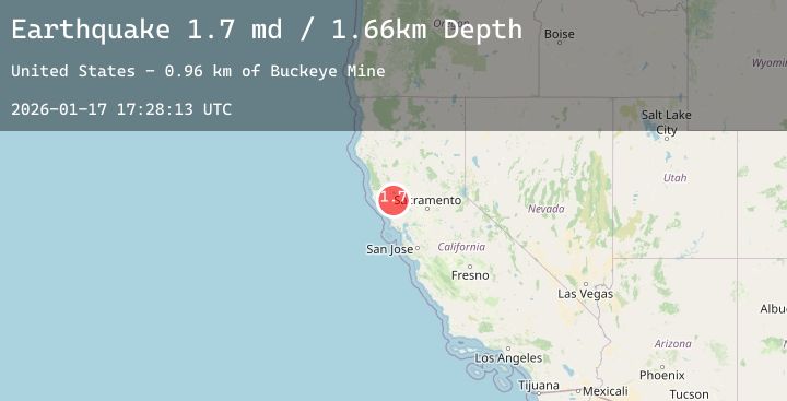
A 1.7 magnitude earthquake struck on 10 km NW of The Geysers, CA, at Sat, 17 Jan 2026 17:28:13 GMT. Depth: 1.6599999666214km. Reviewed by USGS seismologists, this minor quake occurred at a magnitude type of md.
Magnitude
1.7
md
Source
USGS
Intensity
-
Agency Reports
1 Sources| Source | Magnitude | Depth | Time |
|---|---|---|---|
| USGSPrimary | 1.7 | 2 km | 3 hours ago |
Earthquake Details
AutomaticEvent IDusgs_nc75297161
Tsunami PotentialNo
Magnitude Typemd
Nearest Places
- Buckeye Mine1.0 km
- Hummingbird Creek1.2 km
- Wildhorse Creek1.3 km
- Alder Creek1.5 km
- Black Oaks1.6 km
Comments
Join the discussion about this event.
Latest Earthquakes
0.7Mag
7 km NW of The Geysers, CA
Time2 minutes ago
Depth2.47 km
SourceUSGS (Automatic)
2.1Mag
Bali Region, Indonesia
Time4 minutes ago
Depth35.37 km
SourceBMKG (Automatic)
1.3Mag
43 km NW of Toyah, Texas
Time9 minutes ago
Depth4.15 km
SourceUSGS (Automatic)
3.8Mag
South of Java, Indonesia
Time12 minutes ago
Depth10.00 km
SourceBMKG (Automatic)
2.1Mag
South of Bali, Indonesia
Time15 minutes ago
Depth5.00 km
SourceBMKG (Automatic)
Nearby Earthquakes
0.7Mag
7 km NW of The Geysers, CA
Time2 minutes ago
Depth2.47 km
SourceUSGS (Automatic)
0.9Mag
3 km NW of The Geysers, CA
Time1 hour ago
Depth3.56 km
SourceUSGS (Automatic)
1.1Mag
8 km NW of The Geysers, CA
Time2 hours ago
Depth1.85 km
SourceUSGS (Automatic)
1.1Mag
8 km NW of The Geysers, CA
Time4 hours ago
Depth1.86 km
SourceUSGS (Automatic)
0.9Mag
10 km WNW of The Geysers, CA
Time6 hours ago
Depth2.70 km
SourceUSGS (Automatic)