Earthquake 18 km NW of Girdwood, Alaska
Sat, 17 Jan 2026 17:46:53 GMT
Time2 hours ago
Location
61.0670, -149.4000
Depth
17.3 KM
Event Summary
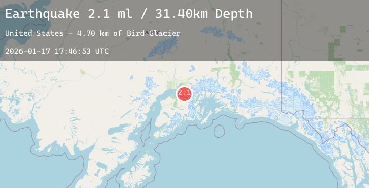
A 2.4 magnitude earthquake struck on 18 km NW of Girdwood, Alaska, at Sat, 17 Jan 2026 17:46:53 GMT. Depth: 17.3km. Reviewed by USGS seismologists, this minor quake occurred at a magnitude type of ml.
Magnitude
2.4
ml
Source
USGS
Intensity
-
Agency Reports
1 Sources| Source | Magnitude | Depth | Time |
|---|---|---|---|
| USGSPrimary | 2.4 | 17 km | 2 hours ago |
Earthquake Details
AutomaticEvent IDusgs_ak2026beszlw
Tsunami PotentialNo
Magnitude Typeml
Nearest Places
- Bird Creek Pass4.2 km
- Indian Creek Pass4.5 km
- Mount Williwaw7.4 km
- Ship Lake7.5 km
- Powerline Pass7.9 km
Comments
Join the discussion about this event.
Latest Earthquakes
2.3Mag
Minahassa Peninsula, Sulawesi
Time2 hours ago
Depth160.58 km
SourceBMKG (Automatic)
1.7Mag
10 km NW of The Geysers, CA
Time2 hours ago
Depth1.66 km
SourceUSGS (Automatic)
1.7Mag
39 km NW of Indian Springs, Nevada
Time2 hours ago
Depth10.88 km
SourceUSGS (Automatic)
1.6Mag
2 km E of Berkeley, CA
Time2 hours ago
Depth8.94 km
SourceUSGS (Automatic)
0.8Mag
19 km W of Searles Valley, CA
Time2 hours ago
Depth7.00 km
SourceUSGS (Automatic)
Nearby Earthquakes
1.6Mag
63 km NW of Tatitlek, Alaska
Time4 hours ago
Depth5.00 km
SourceUSGS (Automatic)
3.8Mag
56 km WNW of Tatitlek, Alaska
Time6 hours ago
Depth17.80 km
SourceUSGS (Automatic)
2.3Mag
18 km SW of Whittier, Alaska
Time12 hours ago
Depth16.90 km
SourceUSGS (Automatic)
2.7Mag
1 km SE of Point MacKenzie, Alaska
Time14 hours ago
Depth22.90 km
SourceUSGS (Automatic)
1.9Mag
45 km ENE of Whittier, Alaska
Time14 hours ago
Depth14.70 km
SourceUSGS (Automatic)