Earthquake South of Bali, Indonesia
Sat, 17 Jan 2026 20:45:55 GMT
Time2 hours ago
Location
-9.0492, 114.6380
Depth
5.0 KM
Event Summary
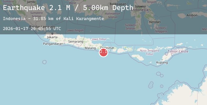
A 2.1 magnitude earthquake struck on South of Bali, Indonesia, at Sat, 17 Jan 2026 20:45:55 GMT. Depth: 5km. Reviewed by BMKG seismologists, this minor quake occurred at a magnitude type of M.
Magnitude
2.1
M
Source
BMKG
Intensity
-
Agency Reports
1 Sources| Source | Magnitude | Depth | Time |
|---|---|---|---|
| BMKGPrimary | 2.1 | 5 km | 2 hours ago |
Earthquake Details
AutomaticEvent IDbmg2026bevd
Tsunami PotentialNo
Magnitude TypeM
Nearest Places
- Kali Karangmente31.8 km
- Tanjung Bantenan32.1 km
- Tanjung Karangmente32.3 km
- Tanjung Sumurtong34.2 km
- Tanjung Slaka37.1 km
Comments
Join the discussion about this event.
Latest Earthquakes
2.9Mag
ANTOFAGASTA, CHILE
Time2 hours ago
Depth87.80 km
SourceCSN (Automatic)
2.5Mag
SICILY, ITALY
Time2 hours ago
Depth16.00 km
SourceINGV (Automatic)
2.1Mag
Sumbawa Region, Indonesia
Time2 hours ago
Depth28.63 km
SourceBMKG (Automatic)
2.7Mag
South of Sumbawa, Indonesia
Time2 hours ago
Depth29.34 km
SourceBMKG (Automatic)
4.8Mag
Northern Sumatra, Indonesia
Time2 hours ago
Depth10.00 km
SourceBMKG (Automatic)