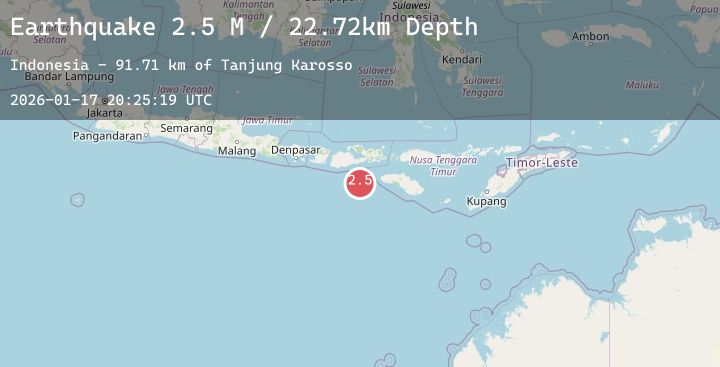
Earthquake Sumbawa Region, Indonesia
Sat, 17 Jan 2026 20:25:24 GMT
Time2 hours ago
Location
-9.4820, 117.9642
Depth
28.6 KM
Event Summary
A 2.1 magnitude earthquake struck on Sumbawa Region, Indonesia, at Sat, 17 Jan 2026 20:25:24 GMT. Depth: 28.629805km. Reviewed by BMKG seismologists, this minor quake occurred at a magnitude type of M.
Magnitude
2.1
M
Source
BMKG
Intensity
-
Agency Reports
1 Sources| Source | Magnitude | Depth | Time |
|---|---|---|---|
| BMKGPrimary | 2.1 | 29 km | 2 hours ago |
Earthquake Details
AutomaticEvent IDbmg2026beum
Tsunami PotentialNo
Magnitude TypeM
Nearest Places
- Tanjung Mata60.2 km
- Kokar Aipanam61.5 km
- Teluk Jongrusak61.5 km
- Brang Aimumit61.7 km
- Teluk Baru61.8 km
Comments
Join the discussion about this event.
Latest Earthquakes
2.7Mag
South of Sumbawa, Indonesia
Time2 hours ago
Depth29.34 km
SourceBMKG (Automatic)
4.8Mag
Northern Sumatra, Indonesia
Time2 hours ago
Depth10.00 km
SourceBMKG (Automatic)
2.8Mag
EASTERN TURKEY
Time2 hours ago
Depth7.00 km
SourceAFAD (Automatic)
2.2Mag
Bali Sea
Time2 hours ago
Depth11.21 km
SourceBMKG (Automatic)
2.6Mag
MOLUCCA SEA
Time2 hours ago
Depth18.00 km
SourceBMKG (Automatic)