Earthquake Bali Region, Indonesia
Sat, 17 Jan 2026 20:57:05 GMT
Time2 hours ago
Location
-8.4441, 115.7762
Depth
35.2 KM
Event Summary
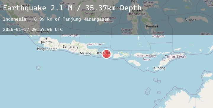
A 2.3 magnitude earthquake struck on Bali Region, Indonesia, at Sat, 17 Jan 2026 20:57:05 GMT. Depth: 35.15176km. Reviewed by BMKG seismologists, this minor quake occurred at a magnitude type of M.
Magnitude
2.3
M
Source
BMKG
Intensity
-
Agency Reports
1 Sources| Source | Magnitude | Depth | Time |
|---|---|---|---|
| BMKGPrimary | 2.3 | 35 km | 2 hours ago |
Earthquake Details
AutomaticEvent IDbmg2026bevn
Tsunami PotentialNo
Magnitude TypeM
Nearest Places
- Tanjung Karangasem5.7 km
- Gili Selang8.6 km
- Tanahbarak9.0 km
- Tukad Batuundung9.0 km
- Tukad Batumanak9.1 km
Comments
Join the discussion about this event.
Latest Earthquakes
0.7Mag
7 km NW of The Geysers, CA
Time2 hours ago
Depth2.47 km
SourceUSGS (Automatic)
1.3Mag
43 km NW of Toyah, Texas
Time2 hours ago
Depth4.15 km
SourceUSGS (Automatic)
3.8Mag
South of Java, Indonesia
Time2 hours ago
Depth10.00 km
SourceBMKG (Automatic)
2.1Mag
South of Bali, Indonesia
Time2 hours ago
Depth5.00 km
SourceBMKG (Automatic)
3.6Mag
OFF E. COAST OF N. ISLAND, N.Z.
Time2 hours ago
Depth270.20 km
SourceGNS (Automatic)
Nearby Earthquakes
No significant earthquakes nearby recently.