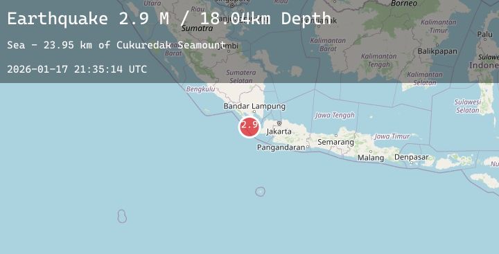
Earthquake Sunda Strait, Indonesia
Sat, 17 Jan 2026 21:35:14 GMT
Time1 hour ago
Location
-6.3813, 104.9928
Depth
12.3 KM
Event Summary
A 2.9 magnitude earthquake struck on Sunda Strait, Indonesia, at Sat, 17 Jan 2026 21:35:14 GMT. Depth: 12.316421km. Reviewed by BMKG seismologists, this minor quake occurred at a magnitude type of M.
Magnitude
2.9
M
Source
BMKG
Intensity
-
Agency Reports
2 Sources| Source | Magnitude | Depth | Time |
|---|---|---|---|
| BMKGPrimary | 2.9 | 12 km | 1 hour ago |
| BMKGPrimary | 2.9 | 18 km | 1 hour ago |
Earthquake Details
AutomaticEvent IDbmg2026bewu
Tsunami PotentialNo
Magnitude TypeM
Nearest Places
- Cukuredak Seamount22.5 km
- Tanjung Kadam25.6 km
- Tanjung Baturendang26.3 km
- Tanjung Panyalatan26.9 km
- Ci Panaitan27.0 km
Comments
Join the discussion about this event.
Latest Earthquakes
4.5Mag
60 km WNW of Sitka, Alaska
Time1 hour ago
Depth1.60 km
SourceUSGS (Automatic)
2.7Mag
Minahassa Peninsula, Sulawesi
Time2 hours ago
Depth37.73 km
SourceBMKG (Automatic)
2.5Mag
Java, Indonesia
Time2 hours ago
Depth123.65 km
SourceBMKG (Automatic)
2.5Mag
Sulawesi, Indonesia
Time2 hours ago
Depth5.00 km
SourceBMKG (Automatic)
2.7Mag
Java, Indonesia
Time2 hours ago
Depth17.58 km
SourceBMKG (Automatic)