Earthquake Near North Coast of West Papua
Sun, 25 Jan 2026 15:12:12 GMT
Time1 day ago
Location
-2.4528, 140.3907
Depth
10.6 KM
Event Summary
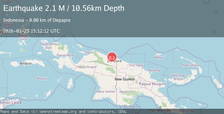
A 2.1 magnitude earthquake struck on Near North Coast of West Papua, at Sun, 25 Jan 2026 15:12:12 GMT. Depth: 10.560981km. Reviewed by BMKG seismologists, this minor quake occurred at a magnitude type of M.
Magnitude
2.1
M
Source
BMKG
Intensity
-
Agency Reports
1 Sources| Source | Magnitude | Depth | Time |
|---|---|---|---|
| BMKGPrimary | 2.1 | 11 km | 1 day ago |
Earthquake Details
AutomaticEvent IDbmg2026btae
Tsunami PotentialNo
Magnitude TypeM
Nearest Places
- Kampung Yepase1.4 km
- Kampung Wambena1.9 km
- Kampung Tablasupa2.4 km
- Distrik Depapre2.5 km
- Depateme3.1 km
Comments
Join the discussion about this event.
Latest Earthquakes
2.0Mag
WESTERN TURKEY
Time13 hours ago
Depth7.60 km
SourceKOERI (Automatic)
4.4Mag
Sulawesi, Indonesia
Time13 hours ago
Depth5.00 km
SourceBMKG (Automatic)
1.8Mag
PYRENEES
Time13 hours ago
Depth1.40 km
SourceIGN (Automatic)
2.6Mag
Minahassa Peninsula, Sulawesi
Time13 hours ago
Depth118.00 km
SourceBMKG (Automatic)
2.8Mag
South of Bali, Indonesia
Time13 hours ago
Depth10.00 km
SourceBMKG (Automatic)
Nearby Earthquakes
2.8Mag
Near North Coast of West Papua
Time4 days ago
Depth10.00 km
SourceBMKG (Automatic)
2.5Mag
Near North Coast of West Papua
Time23 hours ago
Depth10.00 km
SourceBMKG (Automatic)
2.6Mag
Near North Coast of West Papua
Time5 days ago
Depth10.00 km
SourceBMKG (Automatic)
2.8Mag
Near North Coast of West Papua
Time2 days ago
Depth12.25 km
SourceBMKG (Automatic)
2.4Mag
Near North Coast of West Papua
Time5 days ago
Depth18.12 km
SourceBMKG (Automatic)