Earthquake West Papua Region, Indonesia
Thu, 22 Jan 2026 19:39:39 GMT
Time4 days ago
Location
-0.6182, 132.9113
Depth
10.0 KM
Event Summary
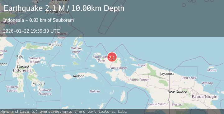
A 2.1 magnitude earthquake struck on West Papua Region, Indonesia, at Thu, 22 Jan 2026 19:39:39 GMT. Depth: 10km. Reviewed by BMKG seismologists, this minor quake occurred at a magnitude type of M.
Magnitude
2.1
M
Source
BMKG
Intensity
-
Agency Reports
1 Sources| Source | Magnitude | Depth | Time |
|---|---|---|---|
| BMKGPrimary | 2.1 | 10 km | 4 days ago |
Earthquake Details
AutomaticEvent IDbmg2026bnwm
Tsunami PotentialNo
Magnitude TypeM
Nearest Places
- Gunung Irau3.9 km
- Maurepi5.1 km
- Kampung Waibem5.9 km
- Kampung Imbuan7.7 km
- Kampung Weprari8.6 km
Comments
Join the discussion about this event.
Latest Earthquakes
3.1Mag
HAITI REGION
Time4 minutes ago
Depth7.00 km
SourceAYIT (Automatic)
2.1Mag
WESTERN TEXAS
Time21 minutes ago
Depth4.40 km
SourceTX (Automatic)
1.3Mag
20 km ENE of Little Lake, CA
Time21 minutes ago
Depth1.84 km
SourceUSGS (Automatic)
2.9Mag
South of Java, Indonesia
Time28 minutes ago
Depth3.21 km
SourceBMKG (Automatic)
2.0Mag
WESTERN TURKEY
Time30 minutes ago
Depth6.70 km
SourceAFAD (Automatic)
Nearby Earthquakes
2.6Mag
West Papua Region, Indonesia
Time9 hours ago
Depth10.93 km
SourceBMKG (Automatic)
2.1Mag
West Papua Region, Indonesia
Time3 days ago
Depth14.74 km
SourceBMKG (Automatic)
2.4Mag
West Papua Region, Indonesia
Time1 day ago
Depth10.00 km
SourceBMKG (Automatic)
2.1Mag
West Papua Region, Indonesia
Time5 days ago
Depth38.83 km
SourceBMKG (Automatic)
2.5Mag
West Papua Region, Indonesia
Time3 days ago
Depth10.00 km
SourceBMKG (Automatic)