Earthquake West Papua Region, Indonesia
Mon, 26 Jan 2026 09:46:31 GMT
Time1 day ago
Location
-0.8494, 133.1114
Depth
10.0 KM
Event Summary
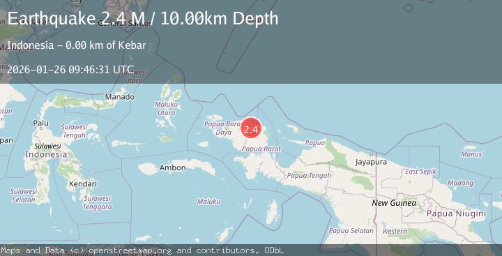
A 2.4 magnitude earthquake struck on West Papua Region, Indonesia, at Mon, 26 Jan 2026 09:46:31 GMT. Depth: 10km. Reviewed by BMKG seismologists, this minor quake occurred at a magnitude type of M.
Magnitude
2.4
M
Source
BMKG
Intensity
-
Agency Reports
1 Sources| Source | Magnitude | Depth | Time |
|---|---|---|---|
| BMKGPrimary | 2.4 | 10 km | 1 day ago |
Earthquake Details
AutomaticEvent IDbmg2026buky
Tsunami PotentialNo
Magnitude TypeM
Nearest Places
- Kampung Matatun2.2 km
- Distrik Kebar2.7 km
- Kampung Apoki3.0 km
- Kampung Wabanek3.0 km
- Kebar3.8 km
Comments
Join the discussion about this event.
Latest Earthquakes
3.1Mag
HAITI REGION
Time4 minutes ago
Depth7.00 km
SourceAYIT (Automatic)
2.1Mag
WESTERN TEXAS
Time21 minutes ago
Depth4.40 km
SourceTX (Automatic)
1.3Mag
20 km ENE of Little Lake, CA
Time21 minutes ago
Depth1.84 km
SourceUSGS (Automatic)
2.9Mag
South of Java, Indonesia
Time28 minutes ago
Depth3.21 km
SourceBMKG (Automatic)
2.0Mag
WESTERN TURKEY
Time29 minutes ago
Depth6.70 km
SourceAFAD (Automatic)
Nearby Earthquakes
2.1Mag
West Papua Region, Indonesia
Time3 days ago
Depth14.74 km
SourceBMKG (Automatic)
2.6Mag
West Papua Region, Indonesia
Time9 hours ago
Depth10.93 km
SourceBMKG (Automatic)
2.1Mag
West Papua Region, Indonesia
Time4 days ago
Depth10.00 km
SourceBMKG (Automatic)
2.1Mag
West Papua Region, Indonesia
Time5 days ago
Depth38.83 km
SourceBMKG (Automatic)
2.4Mag
West Papua Region, Indonesia
Time20 hours ago
Depth10.00 km
SourceBMKG (Automatic)