Earthquake MOLUCCA SEA
Fri, 23 Jan 2026 15:21:54 GMT
Time4 days ago
Location
-0.3000, 124.8100
Depth
9.0 KM
Event Summary
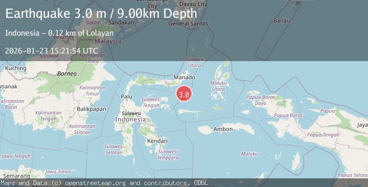
A 3.0 magnitude earthquake struck on MOLUCCA SEA, at Fri, 23 Jan 2026 15:21:54 GMT. Depth: 9km. Reviewed by BMKG seismologists, this minor quake occurred at a magnitude type of m.
Magnitude
3.0
m
Source
BMKG
Intensity
-
Agency Reports
1 Sources| Source | Magnitude | Depth | Time |
|---|---|---|---|
| BMKGPrimary | 3.0 | 9 km | 4 days ago |
Earthquake Details
AutomaticEvent IDemsc_BMKG_20260123_0000264
Tsunami PotentialNo
Magnitude Typem
Nearest Places
- Gorontalo Basin90.2 km
- Pulau Lampu91.0 km
- Batu Mandi91.3 km
- Tanjung Payunga91.8 km
- Libuton Babi92.1 km
Comments
Join the discussion about this event.
Latest Earthquakes
1.7Mag
42 km NW of Toyah, Texas
Time6 minutes ago
Depth4.72 km
SourceUSGS (Automatic)
4.8Mag
Mindanao, Philippines
Time13 minutes ago
Depth10.00 km
SourceBMKG (Automatic)
2.8Mag
CRETE, GREECE
Time17 minutes ago
Depth6.80 km
SourceNOA (Automatic)
0.9Mag
6 km NW of The Geysers, CA
Time22 minutes ago
Depth2.53 km
SourceUSGS (Automatic)
4.5Mag
South of Java, Indonesia
Time27 minutes ago
Depth10.00 km
SourceBMKG (Automatic)
Nearby Earthquakes
4.3Mag
Southern Molucca Sea
Time5 days ago
Depth5.64 km
SourceBMKG (Automatic)
4.3Mag
Southern Molucca Sea
Time3 days ago
Depth11.97 km
SourceBMKG (Automatic)
2.9Mag
MINAHASA, SULAWESI, INDONESIA
Time4 days ago
Depth18.00 km
SourceBMKG (Automatic)
3.4Mag
Northern Molucca Sea
Time5 days ago
Depth11.41 km
SourceBMKG (Automatic)
3.0Mag
Minahassa Peninsula, Sulawesi
Time3 days ago
Depth55.68 km
SourceBMKG (Automatic)